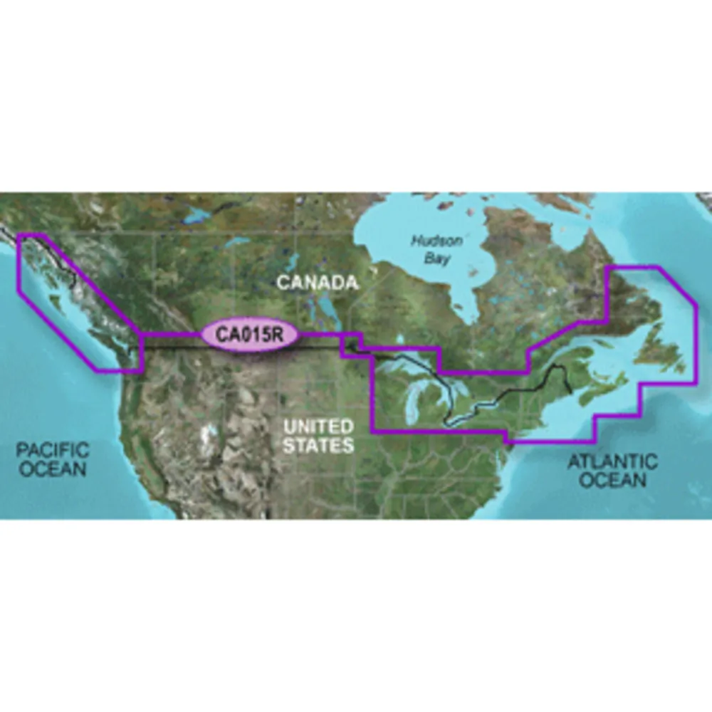
BlueChart® g3 HD - HXCA600X - Canada - microSD™/SD™
Coverage:
Provides detailed coastal coverage of the North America East Coast from Nain, NL to Raritan Bay, NY featuring Newfoundland, Ile d'Anticosti, New York Harbor, and full US and Canadian coverage of the Great Lakes in their entirety. The North American West Coast is covered from Glacier Bay, AK to Aberdeen, WA featuring British Columbia, Vancouver, the Queen Charlotte Islands, and Puget Sounds.
Unparalleled Coastal Chart Coverage
- Provides industry-leading coverage, clarity and detail with updated coastal charts that feature integrated Garmin and Navionics® data
- Auto Guidance¹ technology calculates a route using your desired depth and overhead clearance and provides a suggested path to follow
- Includes Depth Range Shading for up to 10 depth ranges, enabling you to view your target depth at a glance
- Up to 1’ contours provide a more accurate depiction of the bottom structure for improved fishing charts and navigation in swamps, canals and marinas
- NOAA raster cartography² is available as a free downloadable feature via the ActiveCaptain® app
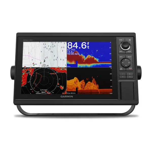
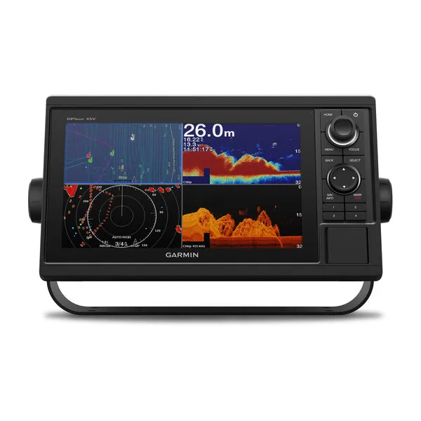
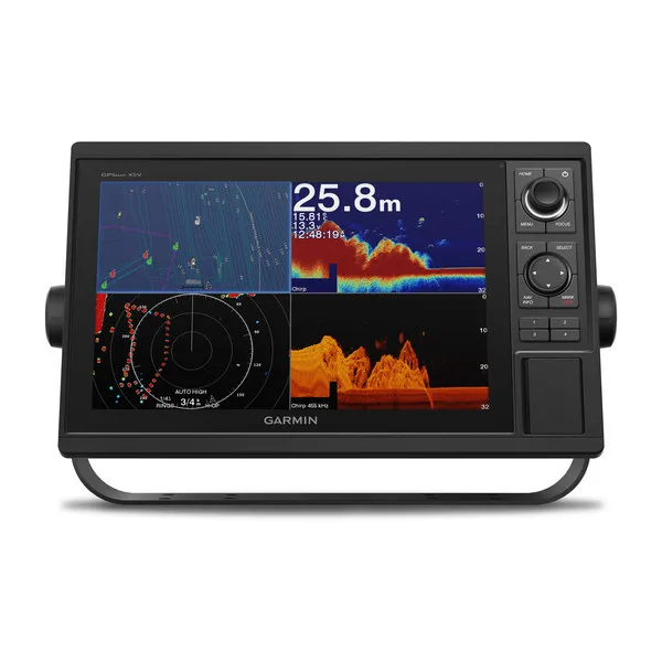
BlueChart g3 coastal charts provide industry-leading coverage, clarity and detail with integrated Garmin and Navionics data. Also included is Auto Guidance¹ technology, which uses your desired depth and overhead clearance to calculate routes and provide a suggested path to follow — overlaid onto your chart. NOAA raster cartography is also available as a free downloadable feature via the ActiveCaptain app. It gives your chartplotter paper chartlike views of NOAA-surveyed areas in which individual points of interest are labeled with corresponding longitude and latitude information. Worldwide coverage is available by regions as accessory cards or via download; each region is sold separately.
Auto Guidance Technology
The Auto Guidance feature¹ calculates a suggested route using your desired depth and overhead clearance.
Depth Range Shading
This feature displays high-resolution Depth Range Shading for up to 10 depth ranges so you can view your designated target depth.
Detailed Contours
BlueChart g3 features up to 1’ contours, which provide a more accurate depiction of the bottom structure for improved fishing charts and navigation in swamps, canals and marinas.
Shallow Water Shading
To aid in navigation, Shallow Water Shading allows map shading at a user-defined depth to give a clear picture of shallow waters to avoid.
NOAA Raster Cartography
This feature gives your chartplotter paper chartlike views of NOAA-surveyed areas in which points of interest are labeled with corresponding longitude and latitude information.
¹Auto Guidance is for planning purposes only and does not replace safe navigation operations
²Raster cartography cannot be viewed on echoMAP CHIRP and ECHOMAP Plus combos but can be viewed on mobile devices via the ActiveCaptain mobile app .
WARNING: This product can expose you to chemicals which are known to the State of California to cause cancer, birth defects or other reproductive harm. For more information go to P65Warnings.ca.gov.
This product may not be returned to the original point of purchase. Please contact the manufacturer directly with any issues or concerns. BlueChart® g3 HD - HXCA600X - Canada - microSD™/SD™
Coverage:
Provides detailed coastal coverage of the North America East Coast from Nain, NL to Raritan Bay, NY featuring Newfoundland, Ile d'Anticosti, New York Harbor, and full US and Canadian coverage of the Great Lakes in their entirety. The North American West Coast is covered from Glacier Bay, AK to Aberdeen, WA featuring British Columbia, Vancouver, the Queen Charlotte Islands, and Puget Sounds.
Unparalleled Coastal Chart Coverage
- Provides industry-leading coverage, clarity and detail with updated coastal charts that feature integrated Garmin and Navionics® data
- Auto Guidance¹ technology calculates a route using your desired depth and overhead clearance and provides a suggested path to follow
- Includes Depth Range Shading for up to 10 depth ranges, enabling you to view your target depth at a glance
- Up to 1’ contours pr
 Smead Straight...
 UNIVRSL DRIP P...
 WASP WDI7500 I...
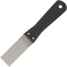 Great Neck Sti...
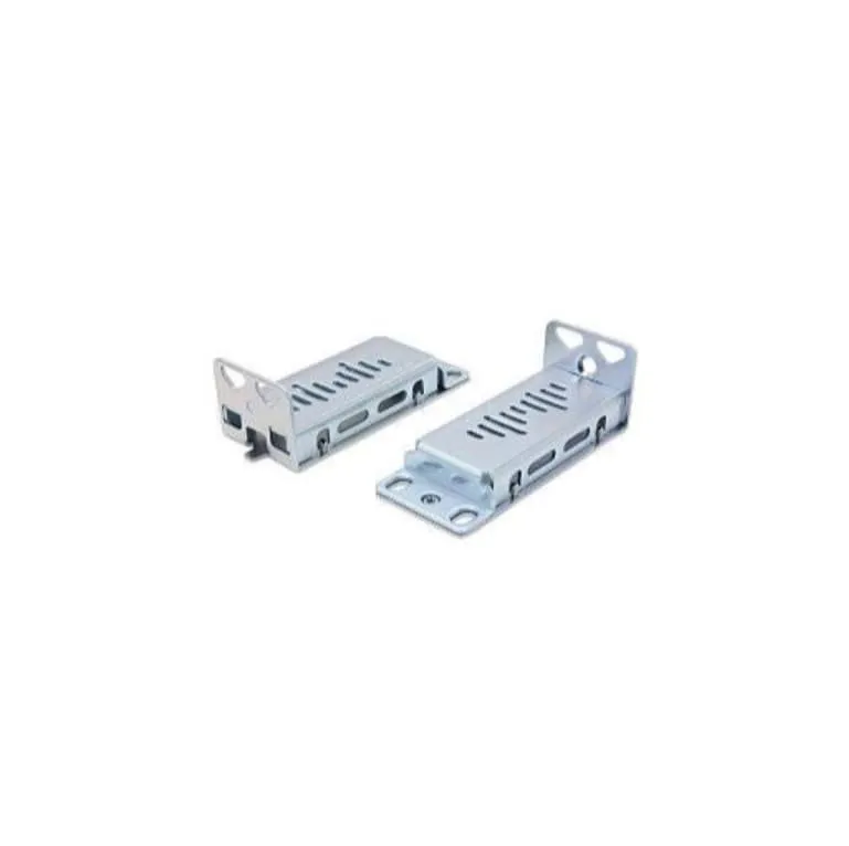 19 IN RACKMOUN...
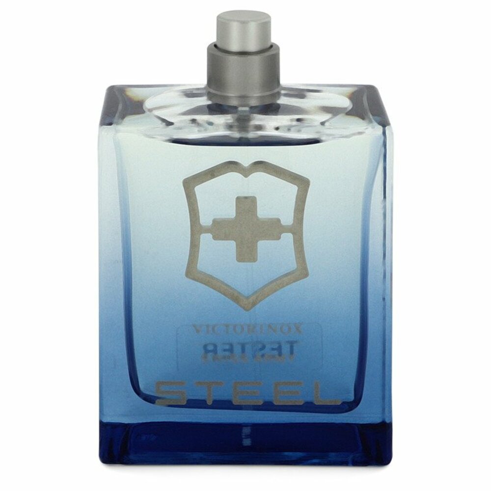 An aromatic aq...
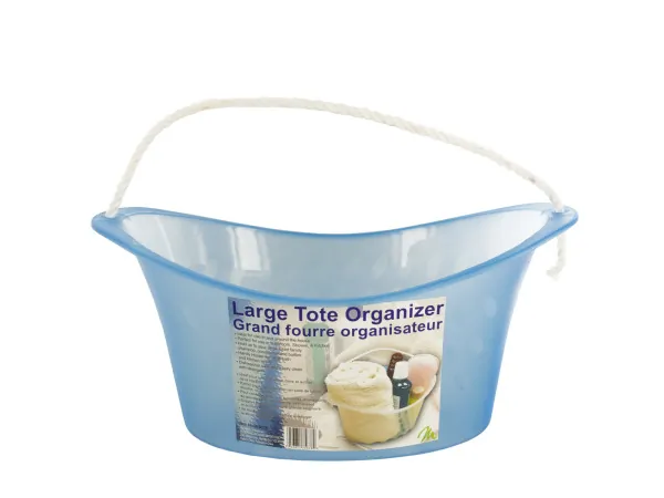 Oval Bath Orga...