BlueChart® g3 HD - HUS048R - Bermuda - microSD™/SD™
Coverage:
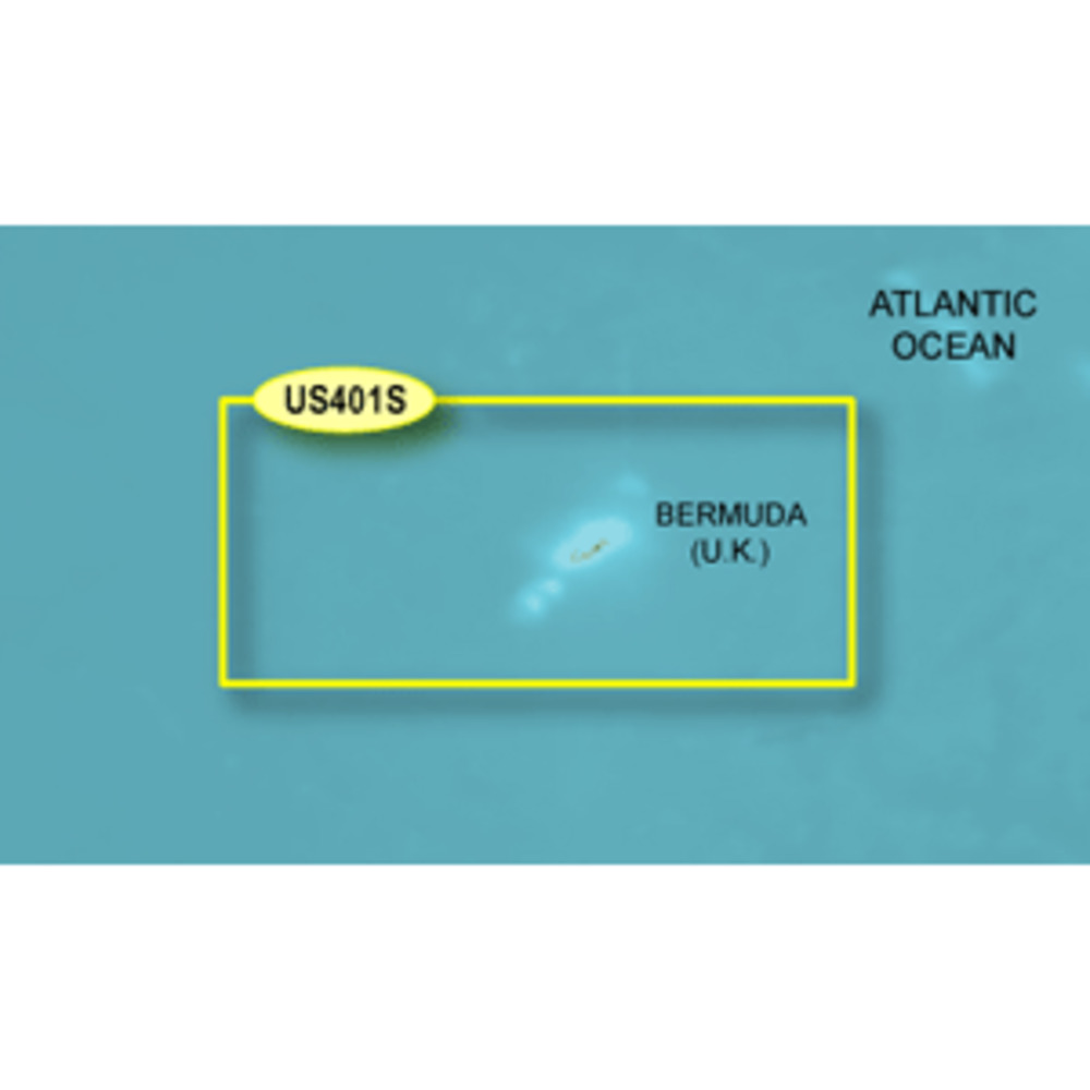
Provides coverage of Bermuda detailing Saint George's Island and Harbour, Harrington Sound, Somerset Island, the Great and Little Sounds, Hamilton Island, and Castle Harbour.
Unparalleled Coastal Chart Coverage
Provides industry-leading coverage, clarity and detail with updated coastal charts that feature integrated Garmin and Navionics® data
Auto Guidance¹ technology calculates a route using your desired depth and overhead clearance and provides a suggested path to follow
Includes Depth Range Shading for up to 10 depth ranges, enabling you to view your target depth at a glance
Up to 1’ contours provide a more accurate depiction of the bottom structure for improved fishing charts and navigation in swamps, canals and marinas
NOAA raster cartography² is available as a free downloadable feature via the
BlueChart® g3 HD - HUS048R - Bermuda - microSD™/SD™
Coverage:
Provides coverage of Bermuda detailing Saint George's Island and Harbour, Harrington Sound, Somerset Island, the Great and Little Sounds, Hamilton Island, and Castle Harbour.
Unparalleled Coastal Chart Coverage
Provides industry-leading coverage, clarity and detail with updated coastal charts that feature integrated Garmin and Navionics® data
Auto Guidance¹ technology calculates a route using your desired depth and overhead clearance and provides a suggested path to follow
Includes Depth Range Shading for up to 10 depth ranges, enabling you to view your target depth at a glance
Up to 1’ contours provide a more accurate depiction of the bottom structure for improved fishing charts and navigation in swamps, canals and marinas
NOAA raster cartography² is available as a free downloadable feature via the
Other people marked this product with these tags:
BlueChart® g3 HD - HUS048R - Bermuda - microSD™/SD™
Coverage:
Provides coverage of Bermuda detailing Saint George's Island and Harbour, Harrington Sound, Somerset Island, the Great and Little Sounds, Hamilton Island, and Castle Harbour.
Unparalleled Coastal Chart Coverage
Provides industry-leading coverage, clarity and detail with updated coastal charts that feature integrated Garmin and Navionics® data
Auto Guidance¹ technology calculates a route using your desired depth and overhead clearance and provides a suggested path to follow
Includes Depth Range Shading for up to 10 depth ranges, enabling you to view your target depth at a glance
Up to 1’ contours provide a more accurate depiction of the bottom structure for improved fishing charts and navigation in swamps, canals and marinas
NOAA raster cartography² is available as a free downloadable feature via the
No reviews yet.
Your Opinion Matters!
Related Products
Fatal error: Uncaught mysqli_sql_exception: syntax error, unexpected '+' in /home/techbuys/public_html/require/classes/userService.php:75
Stack trace:
#0 /home/techbuys/public_html/require/classes/userService.php(75): mysqli->query('SELECT * FROM p...')
#1 /home/techbuys/public_html/product-detail.php(400): userService->getRelatedProducts('WHERE qty>0 AND...')
#2 {main} thrown in /home/techbuys/public_html/require/classes/userService.php on line 75