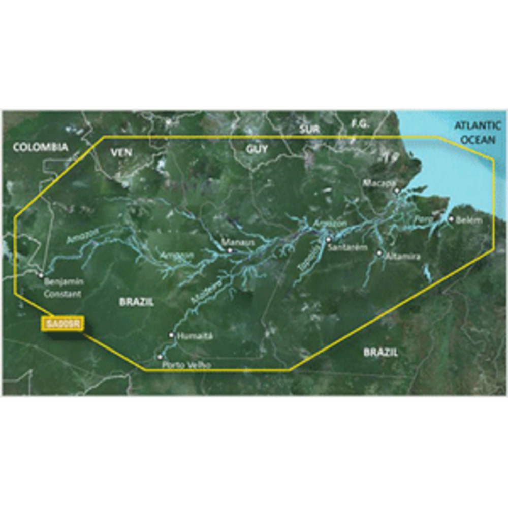
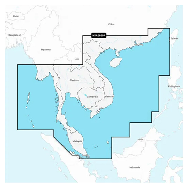
BlueChart® g3 Vision® HD - VSA009R - Amazon River - microSD ™/SD™
Coverage:
Detailed coverage of the Amazon River from Benjamin Constant, Brazil to the Atlantic Ocean, the Madiera River to Porto Velho and portions of the Tapajos and Para Rivers.
Our Premium Chart Offering
Derived from official charts and private sources to provide navigational aids, spot soundings, depth contours, tides and currents, and detailed harbors and marinas
Garmin Auto Guidance technology shows a suggested route to a destination¹
Depth Range Shading for up to 10 depth ranges enables you to view your target depth at a glance
Up to 1-foot contours provide a more accurate depiction of the bottom structure for improved fishing charts and navigation
Shallow Water Shading feature allows for depth shading at a user-defined level to aid in navigation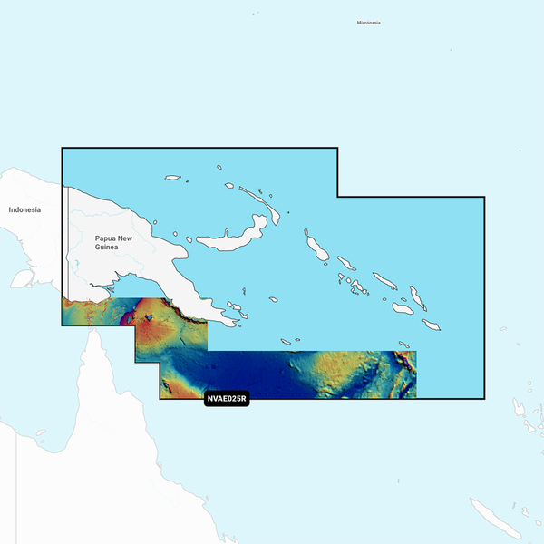
Unique 3D views like MarinerEye and FishEye
Other people marked this product with these tags:
BlueChart® g3 Vision® HD - VSA009R - Amazon River - microSD ™/SD™
Coverage:
Detailed coverage of the Amazon River from Benjamin Constant, Brazil to the Atlantic Ocean, the Madiera River to Porto Velho and portions of the Tapajos and Para Rivers.
Our Premium Chart Offering
Derived from official charts and private sources to provide navigational aids, spot soundings, depth contours, tides and currents, and detailed harbors and marinas
Garmin Auto Guidance technology shows a suggested route to a destination¹
Depth Range Shading for up to 10 depth ranges enables you to view your target depth at a glance
Up to 1-foot contours provide a more accurate depiction of the bottom structure for improved fishing charts and navigation
Shallow Water Shading feature allows for depth shading at a user-defined level to aid in navigation
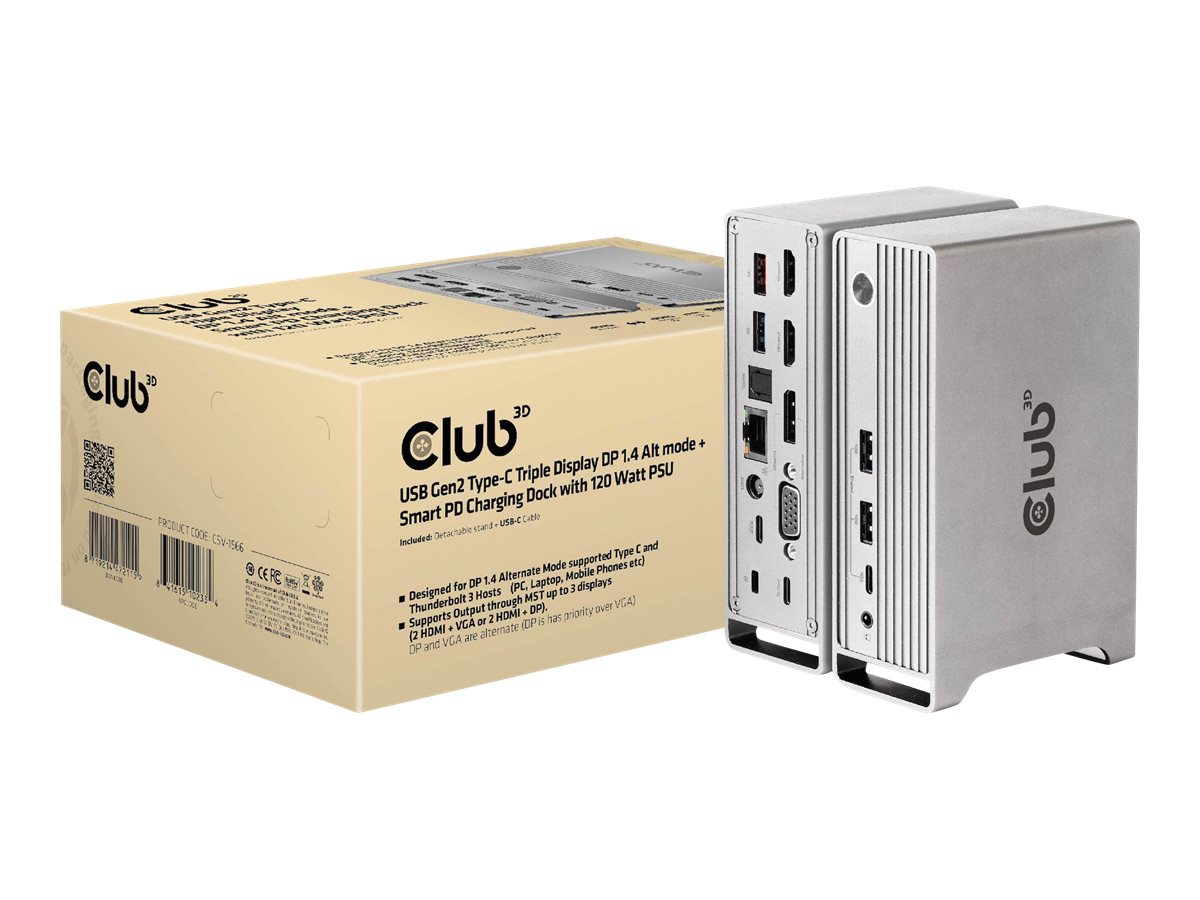 CLUB 3D CSV-15...
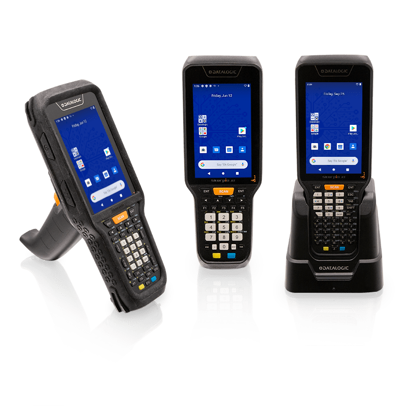 Skorpio X5 Rub...
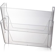 OIC Wall Mount...
 BLUESTAR SERVI...
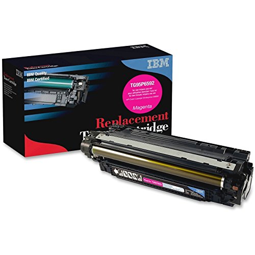 IBM ALT HP LJ ...
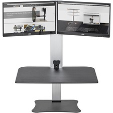 Victor High Ri...
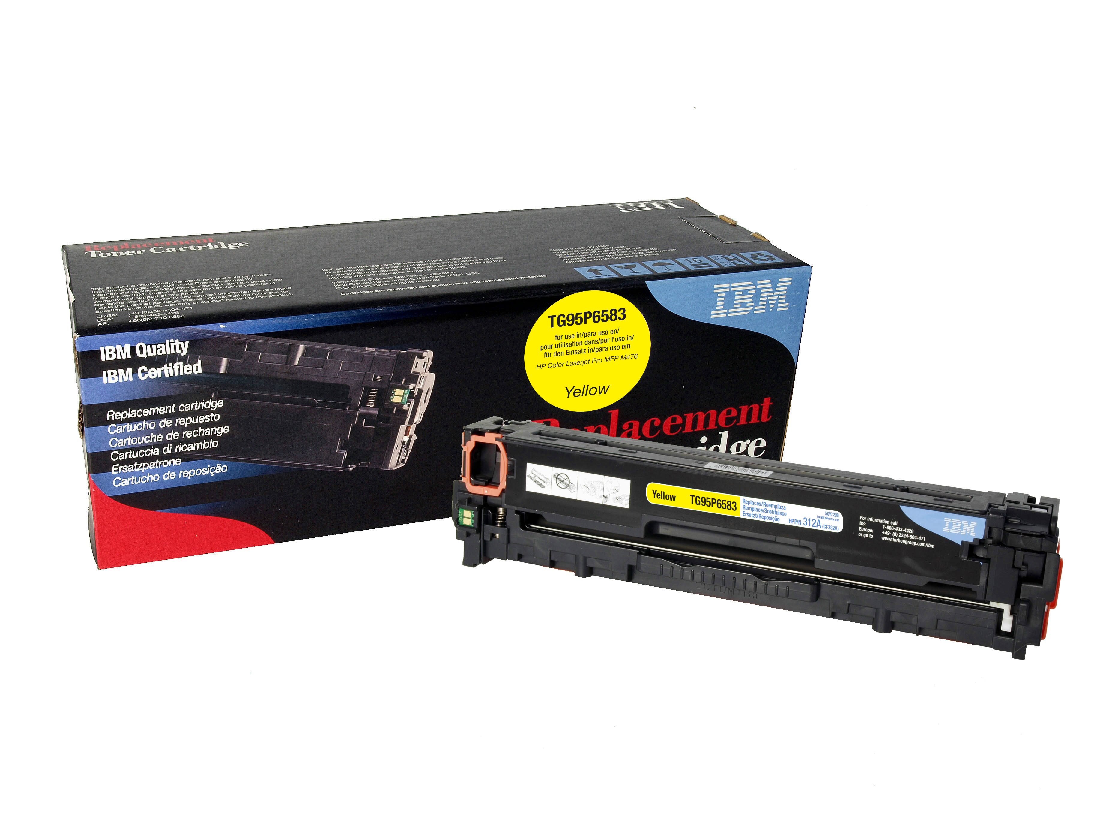 IBM ALT HP LJ ...
 ASUS MN VZ279Q...
 100BASEFX MULT...
 PRINTRONIX S82...
 Smead Letter R...
 20 Gas Spri...
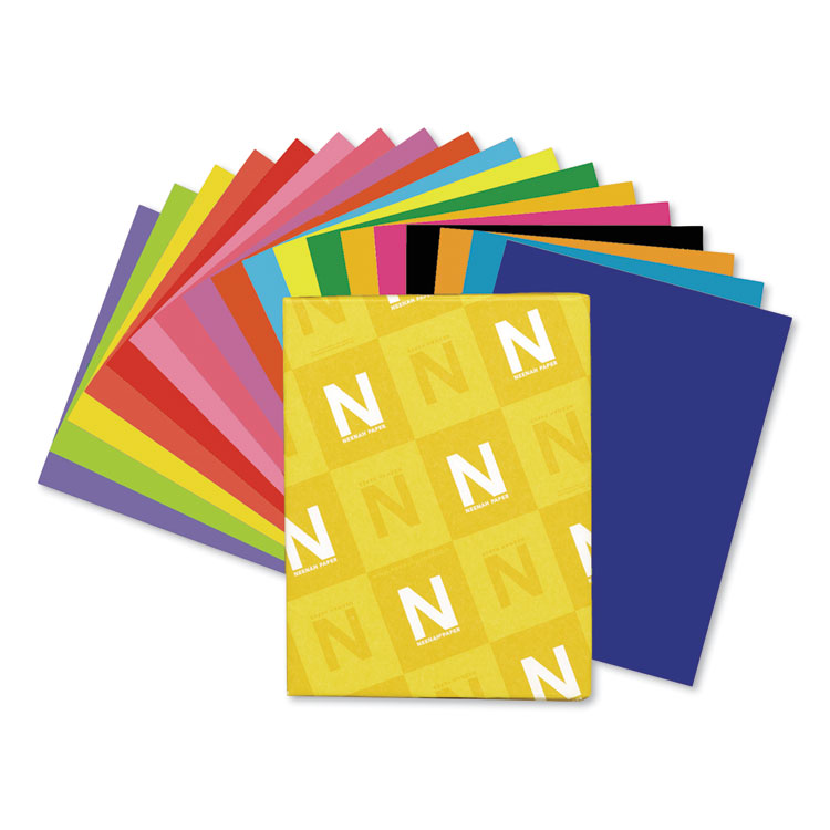 Astrobrights I...
 SINGLE GAS SPR...
 15 Gas Spri...
 StarTech.com 4...
 Neenah Index P...
 Tripp Lite 6ft...
 Belkin Video C...