1 x $82.11
- Cart - 49 items
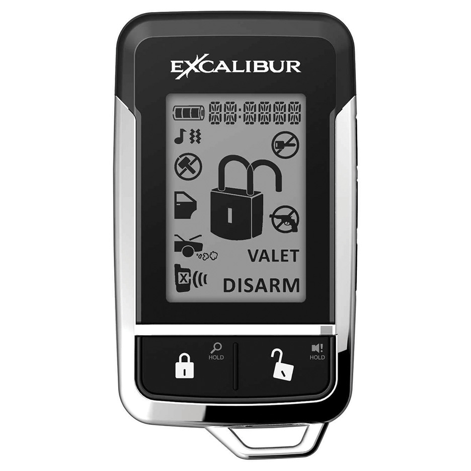 Excalibur Logo...
 Duck Brand Bra...
1 x $15.02
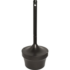 Joe 4.25 Gal F...
1 x $218.38
 Mead Five Star...
1 x $11.48
 Asus MN XG259Q...
1 x $551.60
 dreamGEAR(R) D...
1 x $29.13
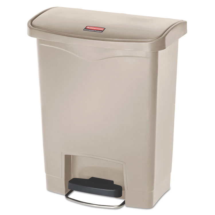 Rubbermaid Com...
1 x $265.34
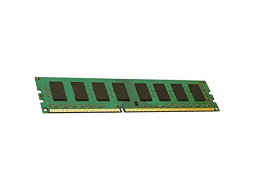 8GB PC3-12800 ...
1 x $45.34
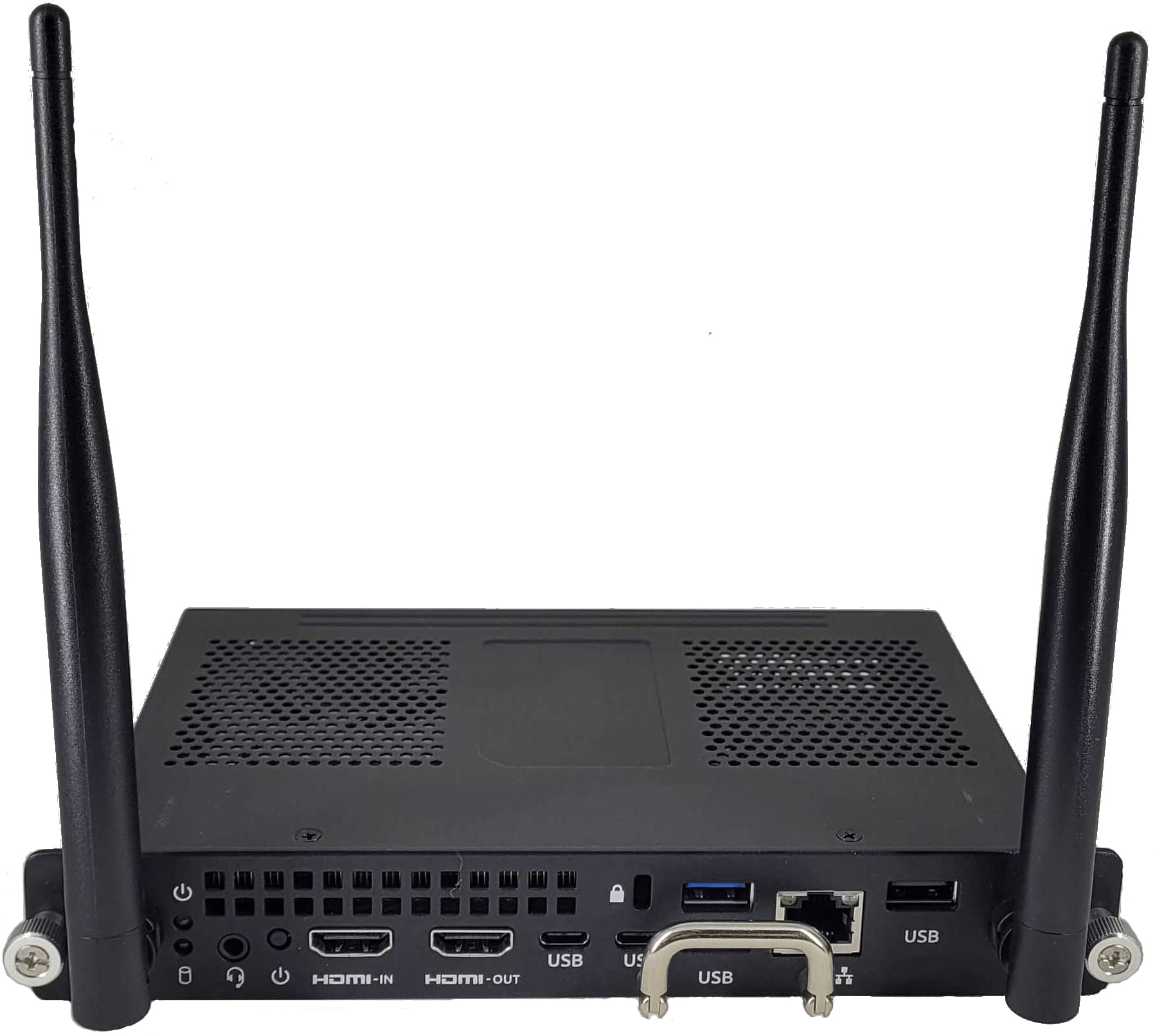 OPS PC MODULE ...
1 x $1,513.71
 ASUS MN VG279Q...
1 x $307.20
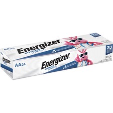 Energizer Ulti...
1 x $460.34
 GBC 7708175 C2...
1 x $697.28
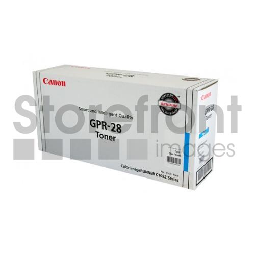 CANON GPR28 CY...
1 x $161.76
 Duck Brand Bra...
1 x $14.78
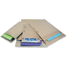 Jiffy Mailer P...
1 x $160.48
 Panasonic Acce...
1 x $34.90
 Elegance Co...
1 x $115.61
 SKILCRAFT Retr...
1 x $25.84
 Rubbermaid Com...
1 x $217.56
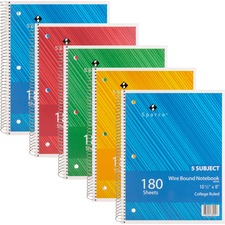 Sparco Wirebou...
1 x $36.06
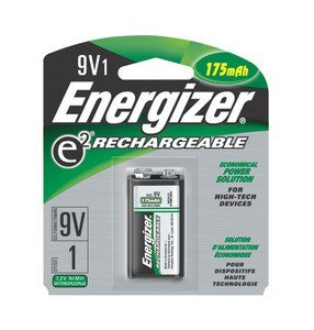 Energizer Rech...
1 x $19.68
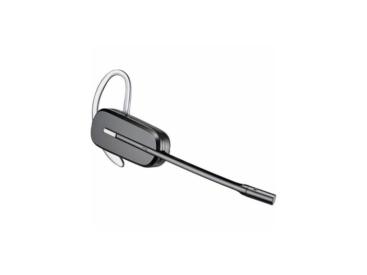 CS540 CONVERTI...
1 x $206.18
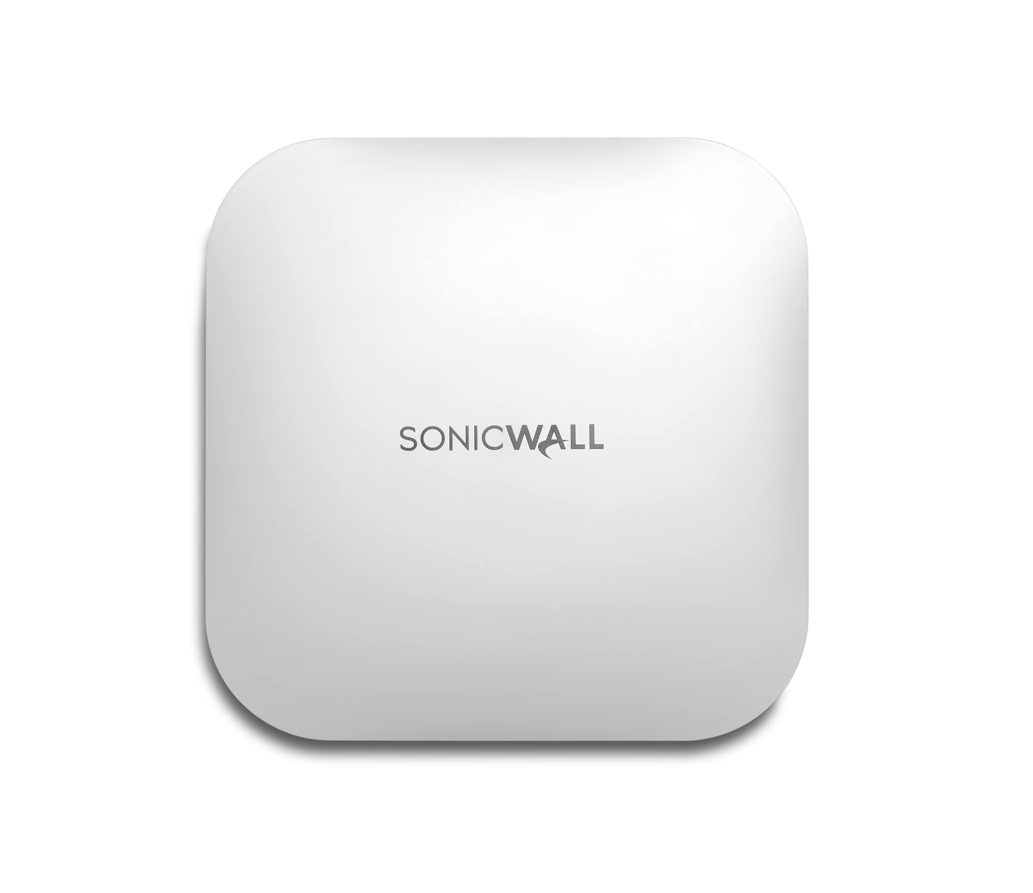 Sonicwall
1 x $597.94
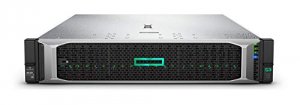 HPE DL380 GEN1...
1 x $2,940.24
 MR5100 POWER M...
1 x $466.86
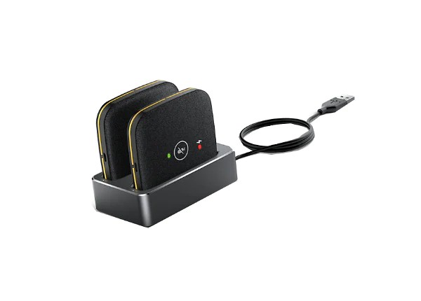 Yealink Wirele...
1 x $300.00
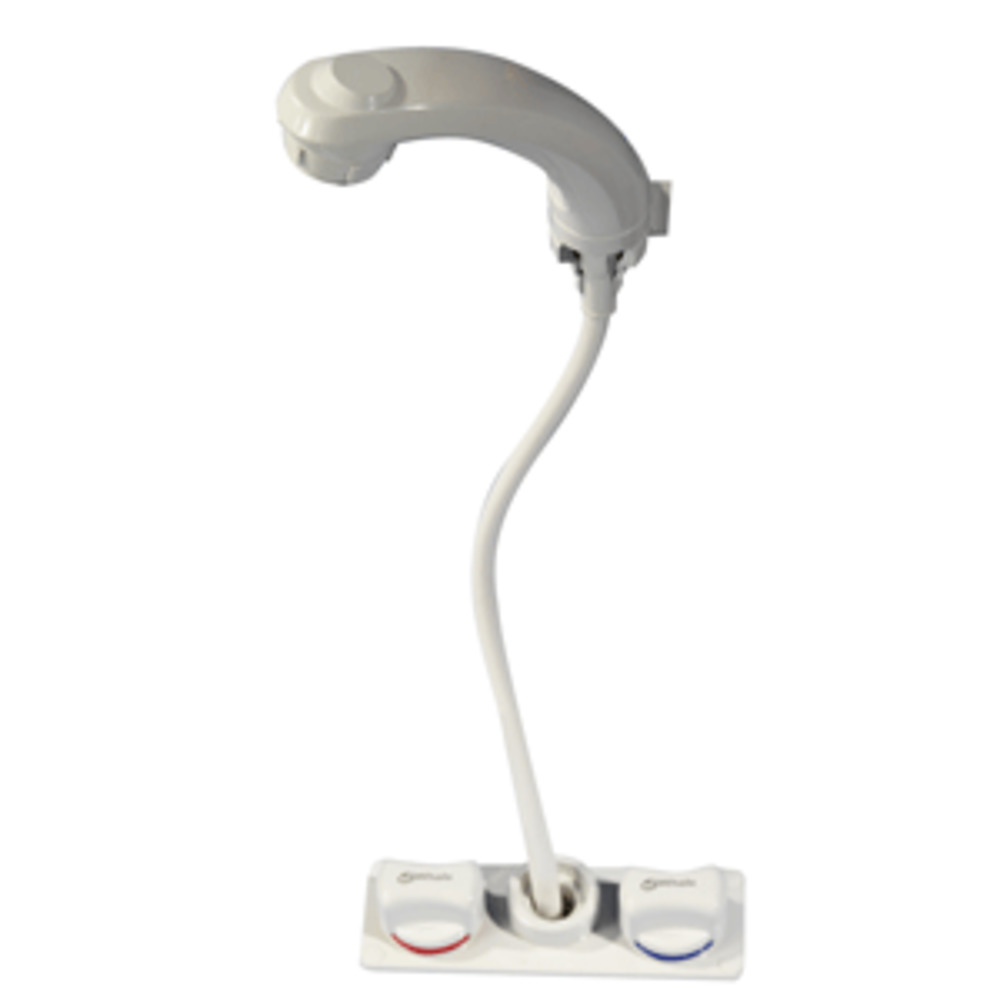
 Palmolive Dish...
1 x $59.48
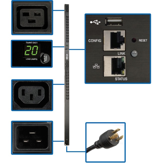 Tripp Lite, PD...
1 x $483.23
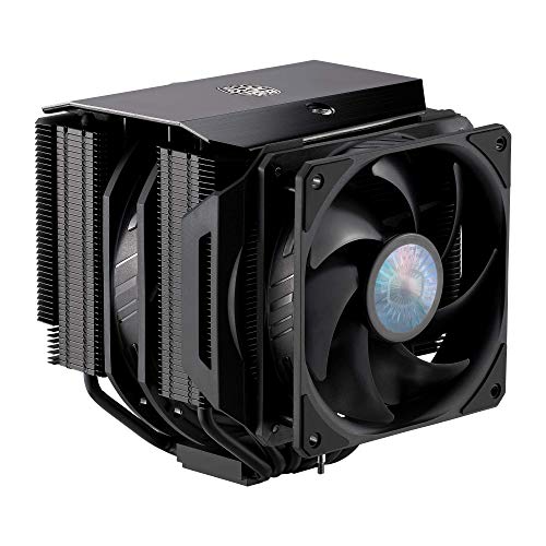 CoolerMaster F...
1 x $107.60
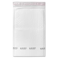 Sealed Air Tuf...
1 x $51.35
 Westcott Bent ...
1 x $35.62
 32 LED PUBLIC ...
1 x $535.18
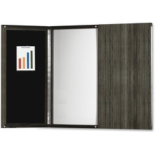 Mayline Gray L...
1 x $993.84
 Copier Toner f...
1 x $123.74
 Prang Ready-To...
1 x $17.96
 XEROX DOCUCOLO...
1 x $230.00
 Brother MFC-J5...
1 x $249.99
 W73H-DECT WRLS...
1 x $102.82
 ICC ICC-IC107F...
1 x $16.23
 CANON PFI1300 ...
1 x $189.53
 Duracell Coppe...
1 x $49.65
HONEYWELL,CT40...1 x $306.81
 ICONEX 9x12 Di...
1 x $49.23
ZEBRA EVM, MC3...1 x $2,614.72
 IRIS WeatherTi...
1 x $129.78
 Iridium Beam P...
1 x $219.34
 StarTech.com T...
1 x $38.23
AC Adapter L6 ...1 x $41.55
ME432-43IN LED...1 x $737.29
Subtotal: $16,877.99