Get the world’s No. 1 choice in the marine mapping with the best, most up-to-date Navionics®+ cartography on your compatible chartplotter.
Featuring vibrant colors, a streamlined interface and combined coastal/inland content with a popular Navionics® style color palette, Garmin Navionics+ cartography makes it easy to plot your course. Multiple shading options aid in shallow water navigation and make it easy to highlight a target depth range for the best fishing spots. Fully customizable with various chart layers, overlay combinations and up to 10 color-shaded target depth ranges to scope out the best fishing spots.
When you purchase a new Garmin Navionics+ or Garmin Navionics Vision+ cartography product, a one-year subscription is included.
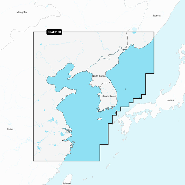
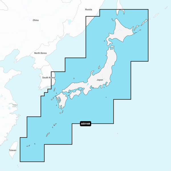
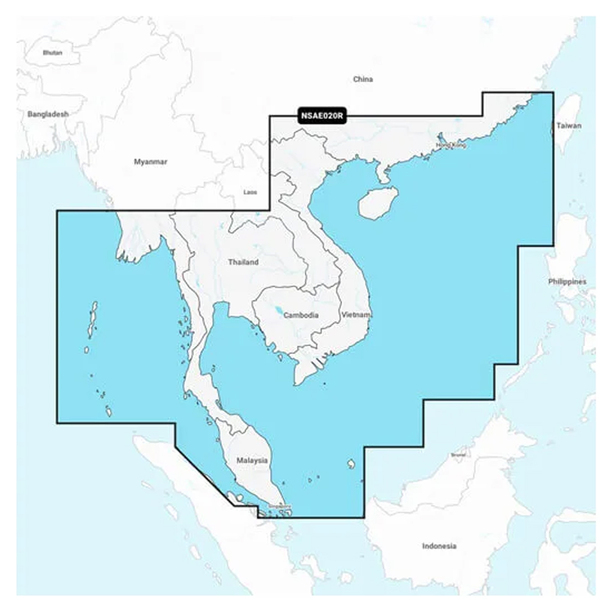
Chart Code - NSAE018R
Coverage Area:
Coastal coverage of the East Asian coast from Vladivostok, RU to Shanghai, CH including the Korean Peninsula. Coverage includes the ports of Busan, South Korea and Dalian, China.
Features:
All-in-one Map Solution - Access detail-rich mapping of coastal features, lakes, rivers and more. Integrated Garmin and Navionics® content offers coverage for boaters worldwide.
Daily Chart Updates - Charts are constantly being enhanced with new and amended content — as many as 5,000 updates are made every day. The one-year included subscription gives you access to daily chart updates via the ActiveCaptain app.
Auto Guidance+ Technology - Combining the best of Garmin and Navionics automatic routing features, built-in Auto Guidance+ technology1 gives you a suggested dock-to-dock path to follow through channels, inlets, marina entrances and more.
Depth Range Shading - High-resolution depth range shading lets you select up to 10 color-shaded options and view your designated target depths at a glance.
Up to 1' Contours - For improved fishing and navigation, up to 1' contours provide a clear depiction of bottom structure for improved fishing charts and enhanced detail in swamps, canals, harbors, marinas and more.
Shallow Water Shading - To give a clear picture of shallow waters to avoid, this feature allows for shading at a user-defined depth.
ActiveCaptain Community - Community-sourced content provides useful POIs, such as marinas, anchorages, hazards, businesses and more. Get recommendations from boaters with firsthand experience of the local environment.
Compatibility:
Check the compatibility of Garmin Navionics+ content and features with your GPS chartplotter.
Technical Specifications:
Format - MicroSD/SD Card
In the Box:
SD/MSD Card
1Auto Guidance+ is for planning purposes only and does not replace safe navigation operations
 Swingline Smar...
 StarTech.com U...
 In-Win RM IW-R...
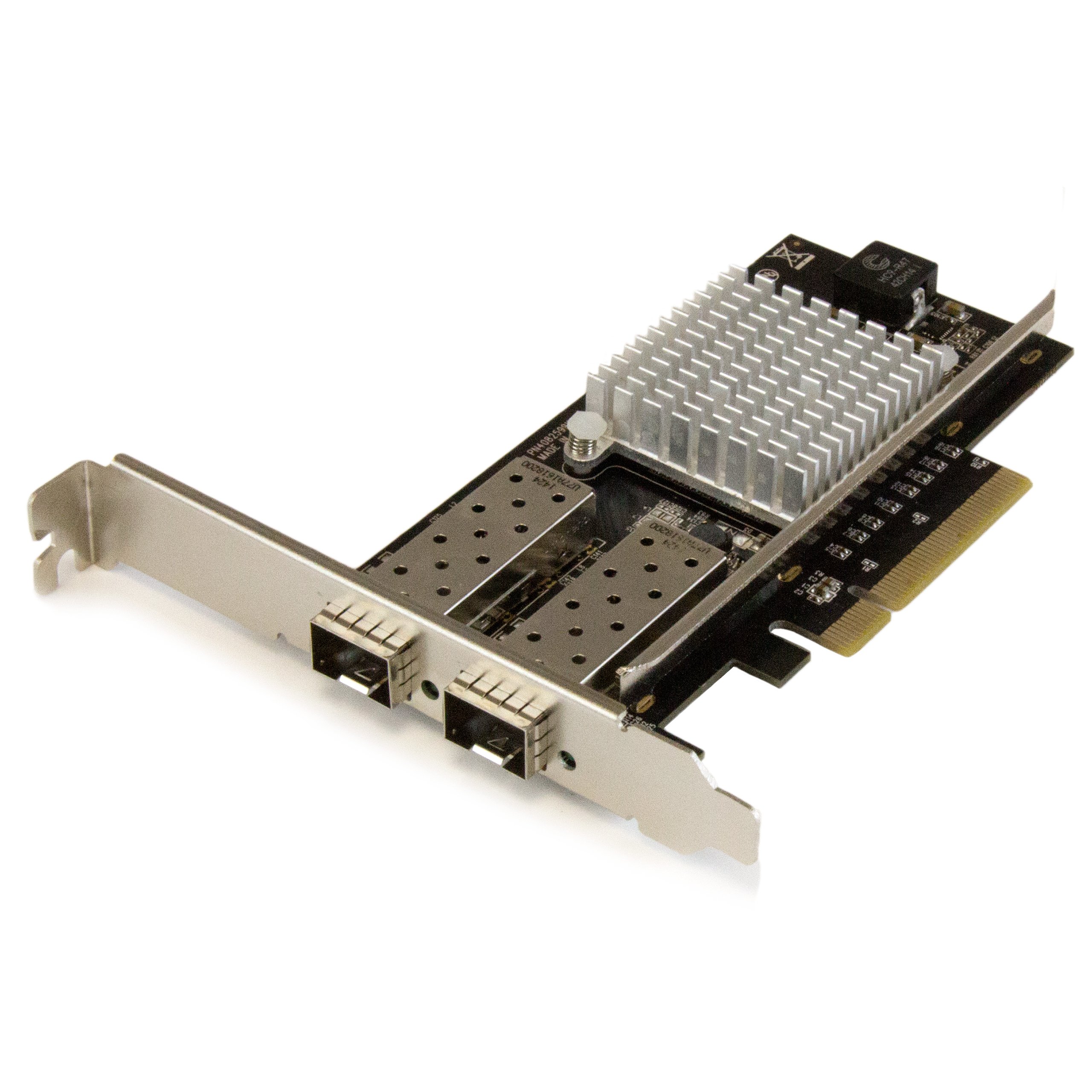 2Port 10G Fibe...
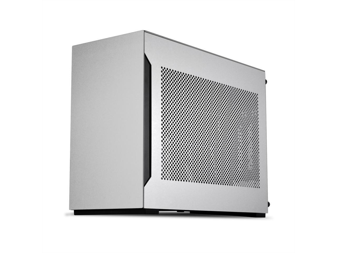 Lian-Li Case A...
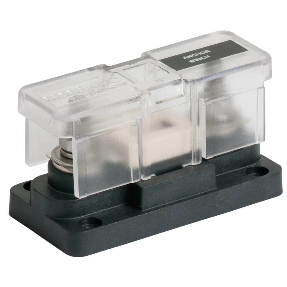 BEP Pro Instal...
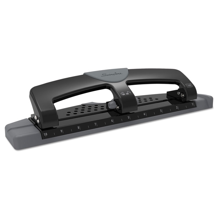 Swingline Smar...
 Panther 700A S...
 Advantus Fusio...
 USB-C 61W QUIC...
 ROCKSOLID LABE...
 Navigator Lase...
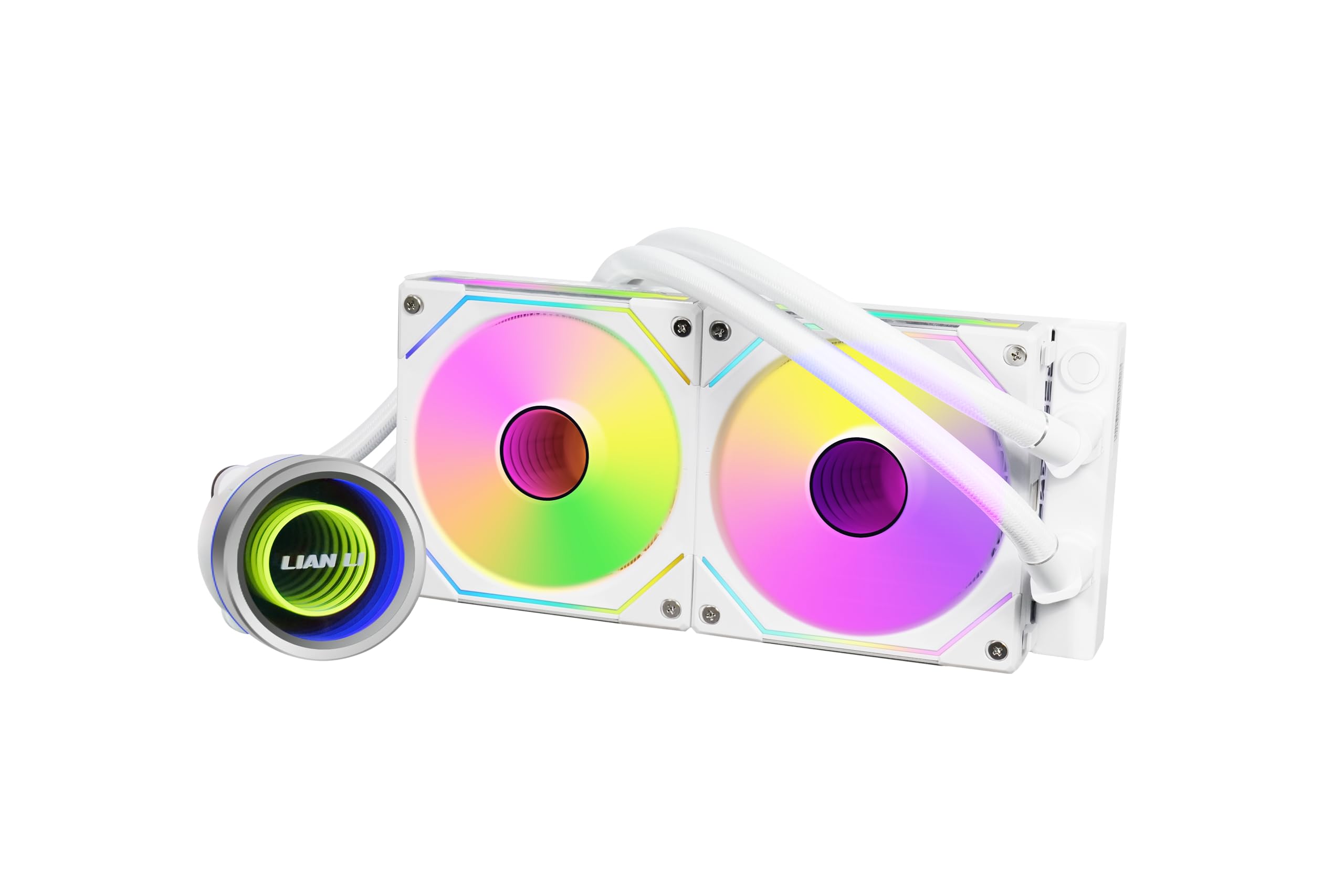 Lian Li Galaha...
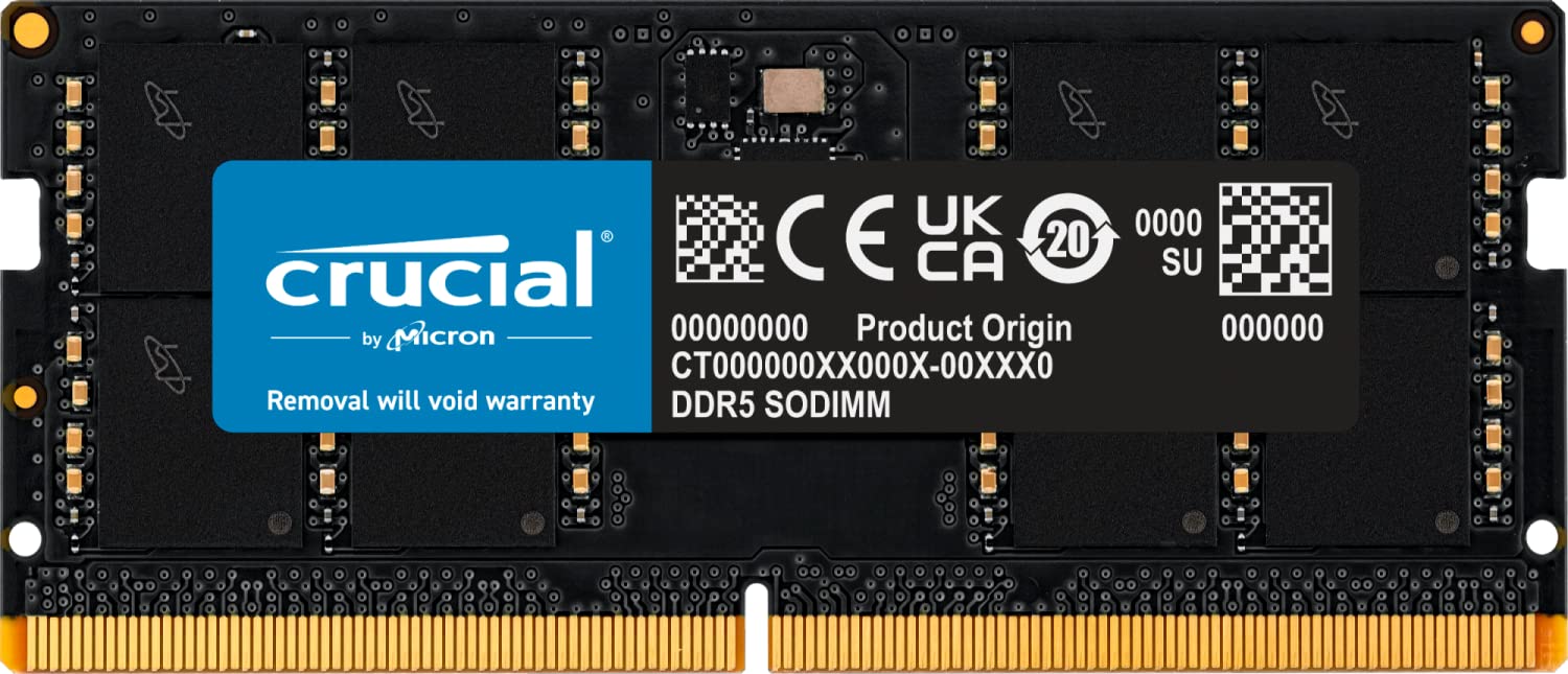 16GB DDR5 5600...