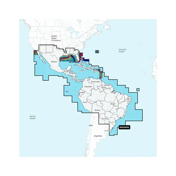
Garmin Navionics Vision+™ NVSA004L - Marine Charts for Mexico and the Caribbean
Enhance Your Navigation Experience
Experience superior marine mapping with Garmin Navionics+ cartography that delivers vibrant colors and a user-friendly interface. Navigate confidently in coastal and inland waterways with exceptional detail and customizability.
Comprehensive coverage of coastal and inland waterways.
Customize your view with various chart layers and overlays.
One-year subscription includes daily updates via ActiveCaptain® app.
Auto Guidance+™ technology offers dock-to-dock navigation suggestions.
Select up to 10 color-shaded depth ranges for optimal fishing.
Renew your subscription for continued access to updates and content.
Detail-rich mapping includes lakes, rivers, and coastal features.
Receive up to 5,000 daily updates to keep your charts current.
Community-sourced content provides valuable local points of interest.
Adjust maps according to current water levels for safe navigation.