- Cart – 0 items
-
Cart is Empty
-
$210.61
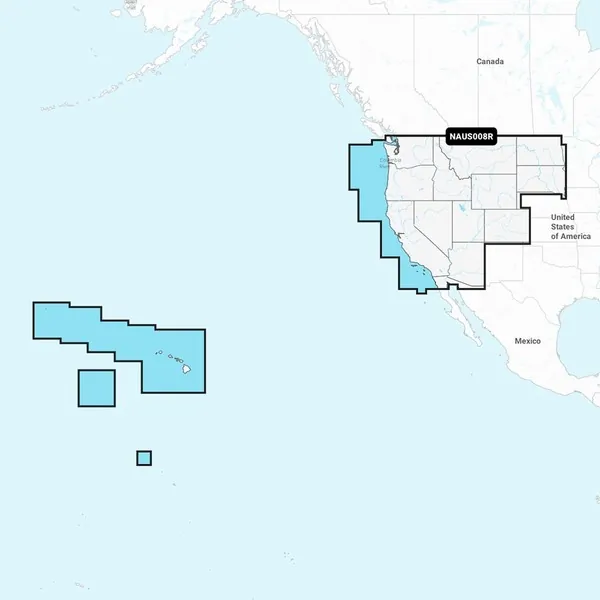
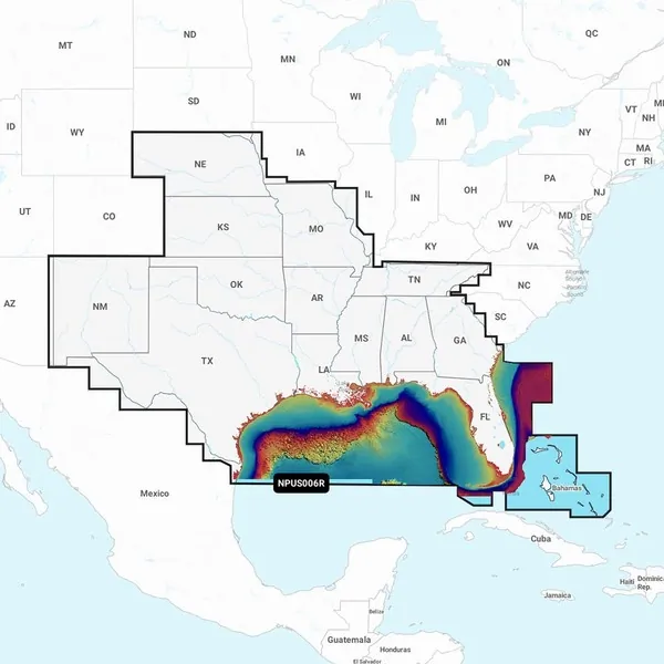
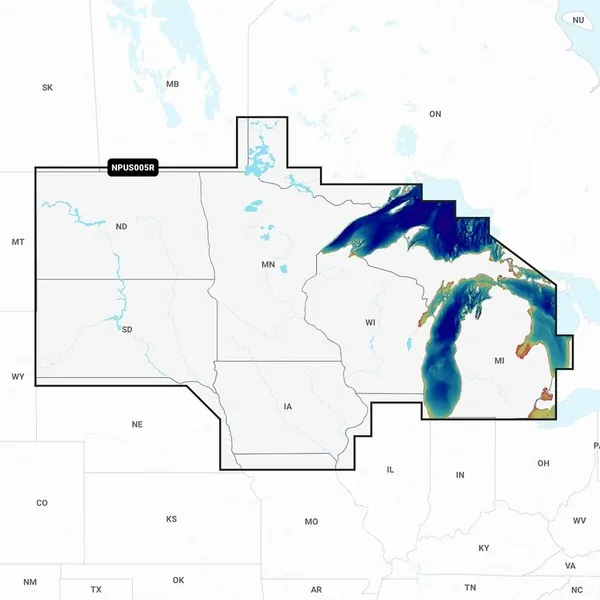
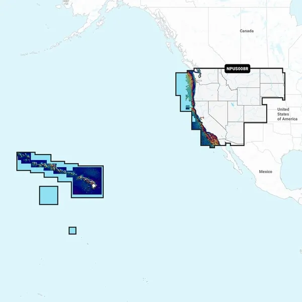
NPUS008R U.S. West Marine Charts
Navionics Platinum+™ charts integrate all features of Navionics®+ cartography with in-depth offshore and inland mapping. This includes coverage for 42,000+ lakes and offers additional options like relief shading, satellite imagery with SonarChart shading overlay, a 3D perspective view, aerial photos, and more.
Charts & Updates:
Advanced Features:
Overlays:
Platinum+ Additional Viewing Options:
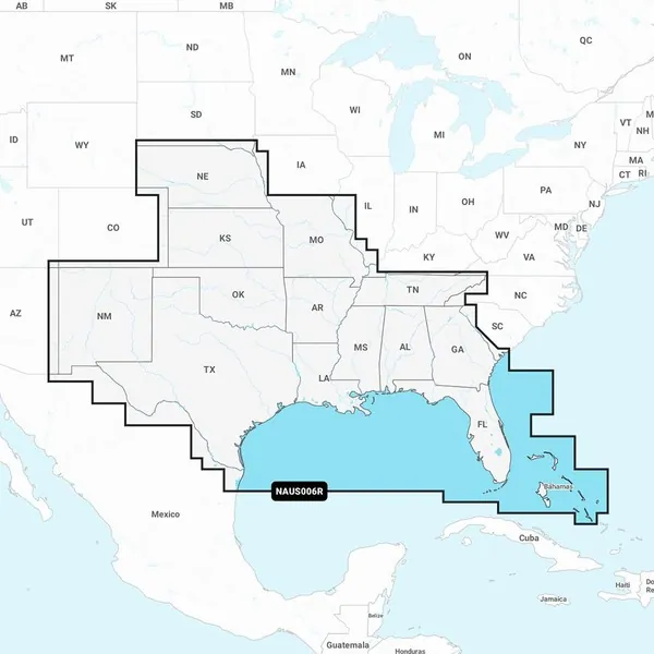
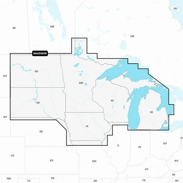
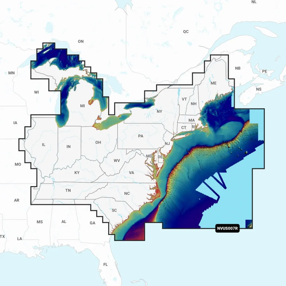
Coverage Areas:
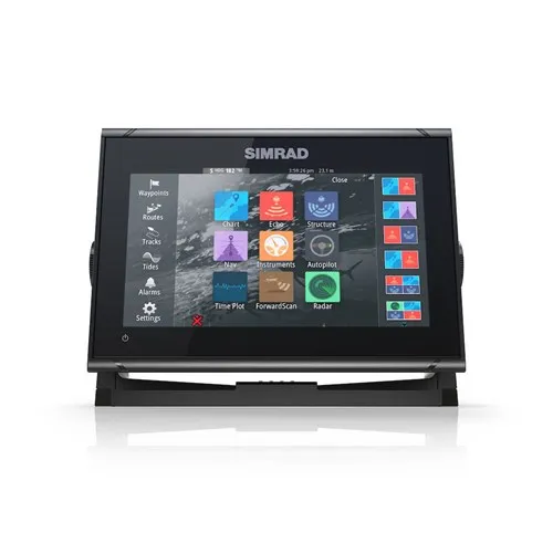
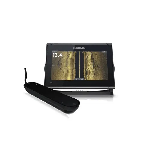
Compatibility:
Note: 1 subscription is required. 2 Dock-to-dock Route Guidance is intended for planning purposes only and does not substitute for safe navigation operations. 3 Subscription not required for SonarChart Live mapping on some chartplotter models; ensure latest chartplotter firmware release. **NOT FOR USE IN GARMIN CHARTPLOTTERS**
Navionics Platinum+ NPUS008R U.S. West Marine Charts
Related Products