- Cart – 0 items
-
Cart is Empty
-
$110.24
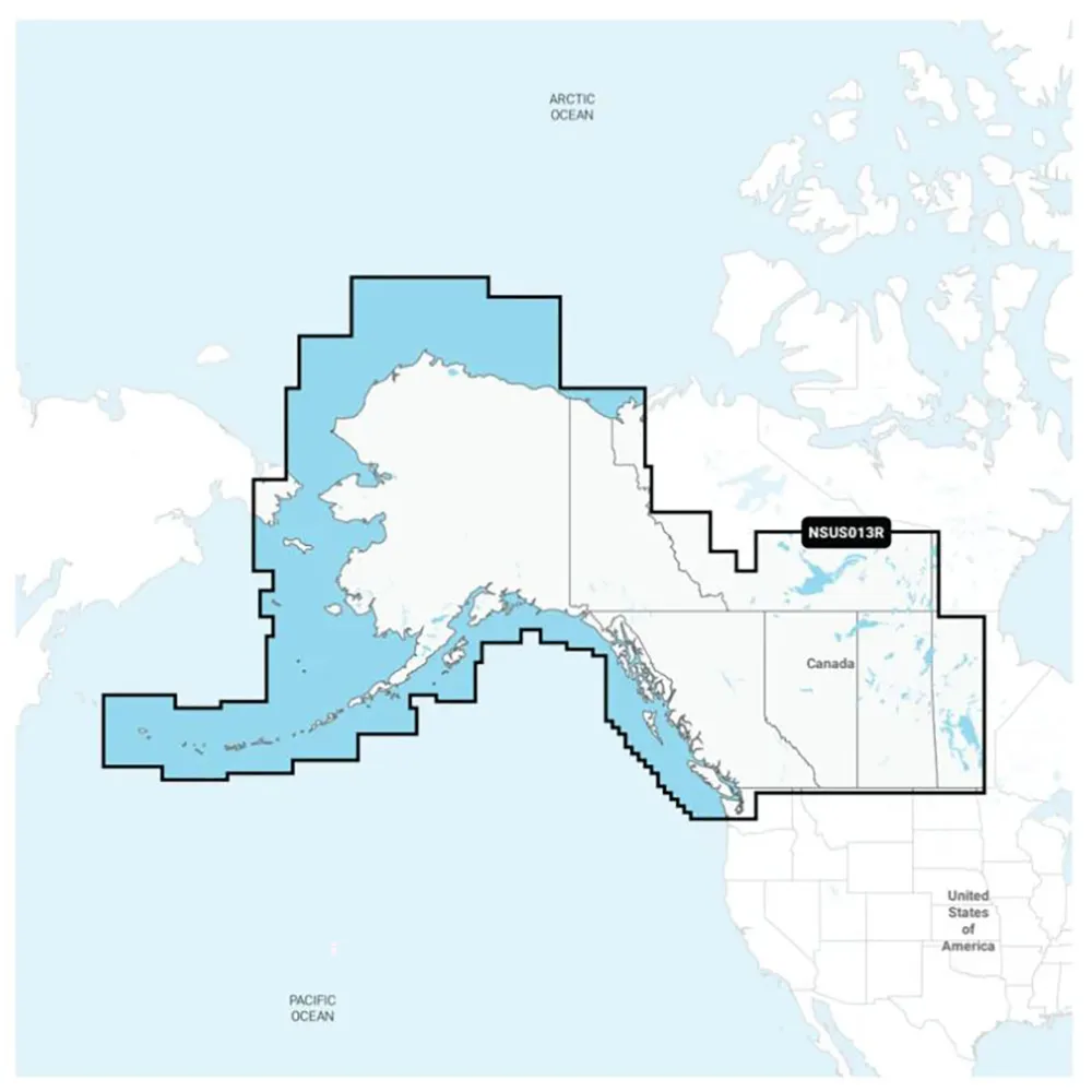
Garmin Navionics+ NSUS013R Canada, West & Alaska Charts
This premium marine mapping solution offers vivid colors and a user-friendly interface for both coastal and inland navigation. With the trusted Navionics style, plotting courses is simplified—making it the top choice for boater mapping.
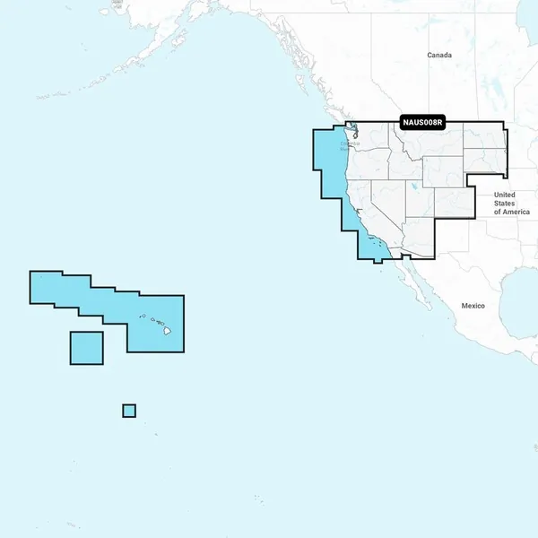
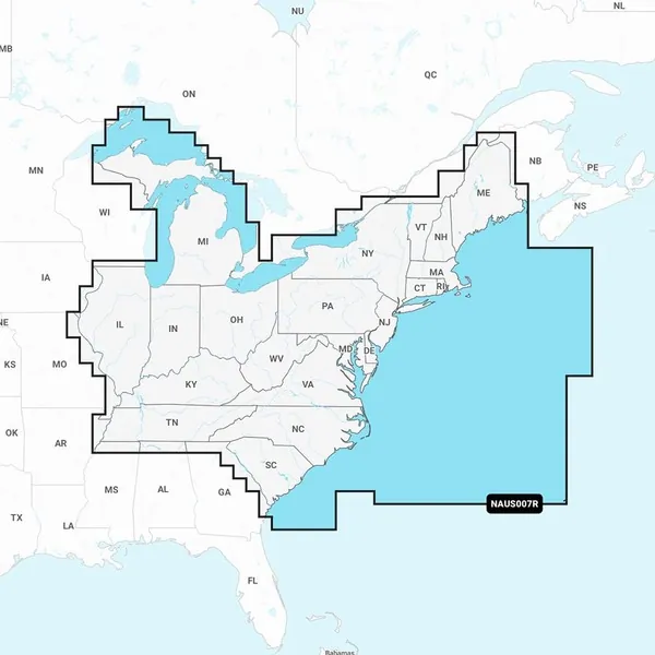
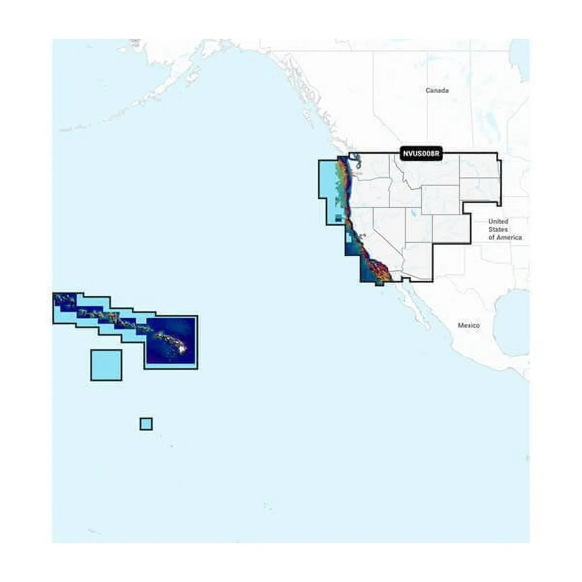
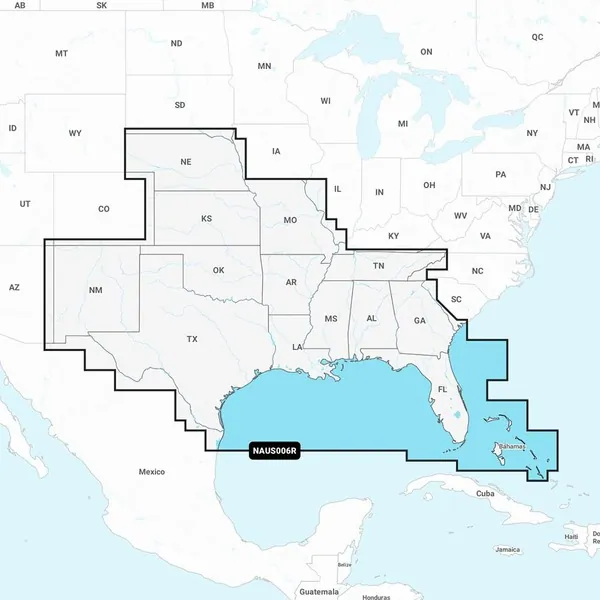
Coverage Details
This chart provides intricate mapping of coastal and inland waterways throughout western Canada and Alaska, including Vancouver Island, Puget Sound, and the Aleutian Islands.
All-In-One Mapping Solution
Experience comprehensive mapping that covers coastal features, lakes, rivers, and beyond. This integrated Garmin and Navionics content ensures global boating coverage.
Daily Chart Updates
Enjoy continuous enhancements with around 5,000 updates made daily. The one-year subscription grants ongoing access to these updates via the ActiveCaptain app.
Auto Guidance+ Technology
The Auto Guidance+ technology combines Garmin and Navionics routing capabilities, suggesting dock-to-dock paths through narrow channels and strategic entry points.
Depth Range Shading
Easily view target depths with high-resolution color shading options, providing at-a-glance information for effective navigation.
Contour Details
Navigate with improved fishing and navigation capabilities, as this chart includes contours down to 1 foot, showcasing underwater structures clearly.
Shallow Water Shading
Avoid shallow waters with user-defined shading parameters that highlight areas to steer clear of.
ActiveCaptain Community
Access community-sourced content, featuring essential points of interest including marinas, hazards, and local business recommendations from experienced boaters.
Garmin Navionics+ NSUS013R Canada, West & Alaska Charts
Related Products