- Cart - 0 items
Cart is Empty.

$118.14
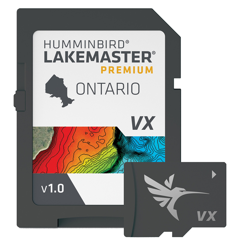
LakeMaster® VX - Southeast Fishing Maps
The Humminbird LakeMaster® VX for Southeast States is revolutionizing the way anglers navigate and fish. These upgraded fishing maps utilize VX Technology to provide the most detailed underwater insights available.
Renowned for their precision, LakeMaster maps are crafted by skilled GIS analyst cartographers. With the new VX Technology, users now enjoy enhanced map performance alongside five customizable color palettes. This transformation allows for a wealth of additional information, catering to the needs of today's anglers.
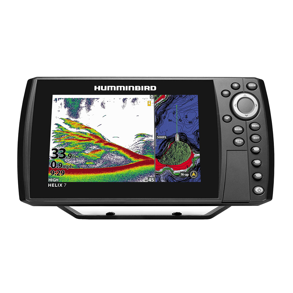
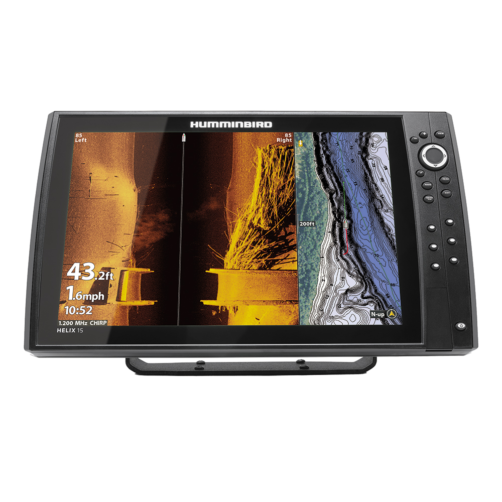
Maintaining its vast coverage, this lineup introduces SmartStrike technology, enabling users to filter search parameters such as season, time of day, temperature, and targeted species to pinpoint optimal fishing locations. Additional features include customizable Chart Presets, Depth Highlight, Shallow Water Highlight, Water Level Offset, and the One-Boat Network capability.
As a trusted resource for anglers, LakeMaster ensures that the data represented is a true reflection of what lies beneath the water. Embrace the future of fishing with Humminbird LakeMaster, setting a new standard for accuracy and detail in aquatic mapping.
Humminbird LakeMaster® VX - Southeast Fishing Maps
Related Products


Copyright © TechBuys All Rights Reserved.


