1 x $59.56
- Cart – 5 items
-
 REPL XEROX 006... Defender Pro B...
1 x $42.31
 Highland 3/4W ...
1 x $29.92
 Mr. Coffee Woo...
1 x $35.03
 New Jersey Med...
1 x $41.53
Subtotal: $208.35
-
1 x $59.56
1 x $42.31
1 x $29.92
1 x $35.03
1 x $41.53
Subtotal: $208.35
$580.00
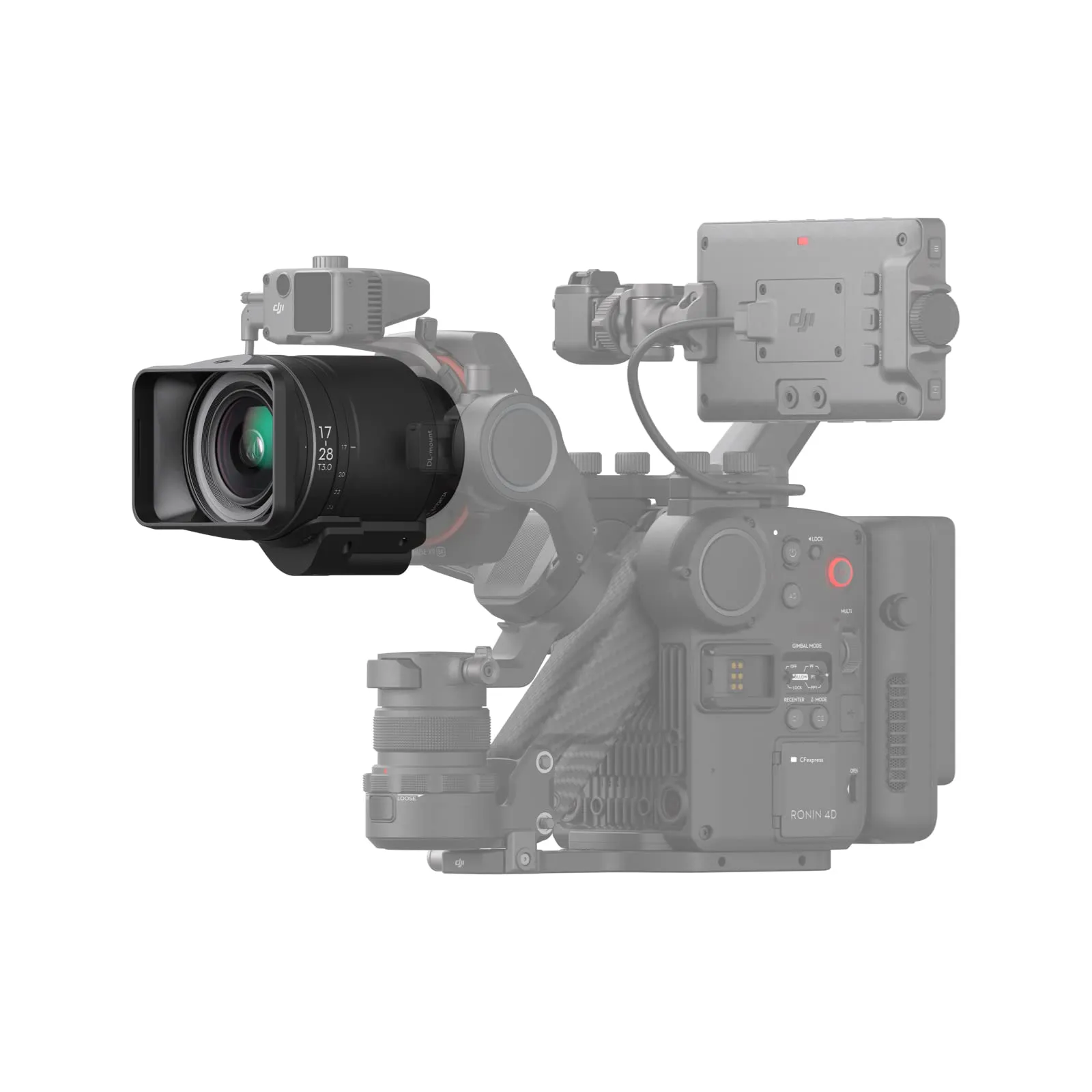
The DJI Focus Pro LiDAR System is designed for professionals in the mapping and surveying industry. It delivers high-precision data capture for complex terrain and structures. The system leverages advanced LiDAR technology to create detailed 3D models and topographical maps, making it an essential tool for accurate environmental assessments.
Featuring real-time data processing, seamless integration with DJI drones, and robust software support, the Focus Pro enhances the efficiency of aerial mapping projects. Whether for construction, agriculture, or environmental monitoring, this LiDAR system ensures precise and reliable results.
DJI Focus Pro LiDAR System for Precision Mapping
Related Products