- Cart – 0 items
-
Cart is Empty
-
$239.72
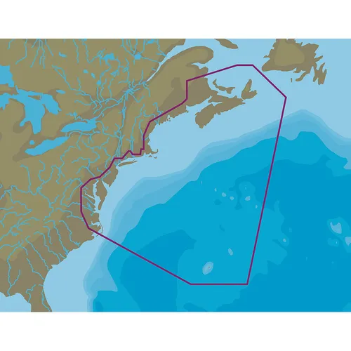
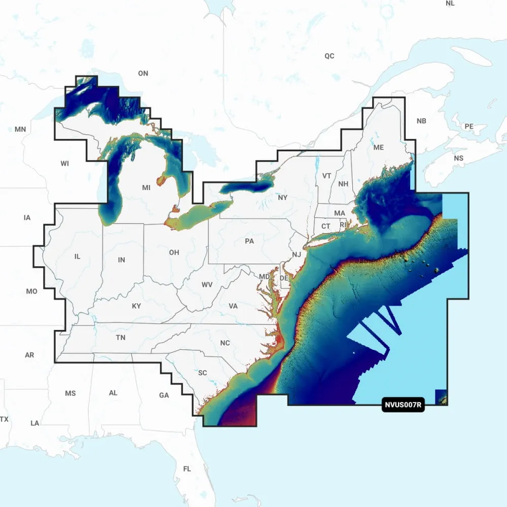
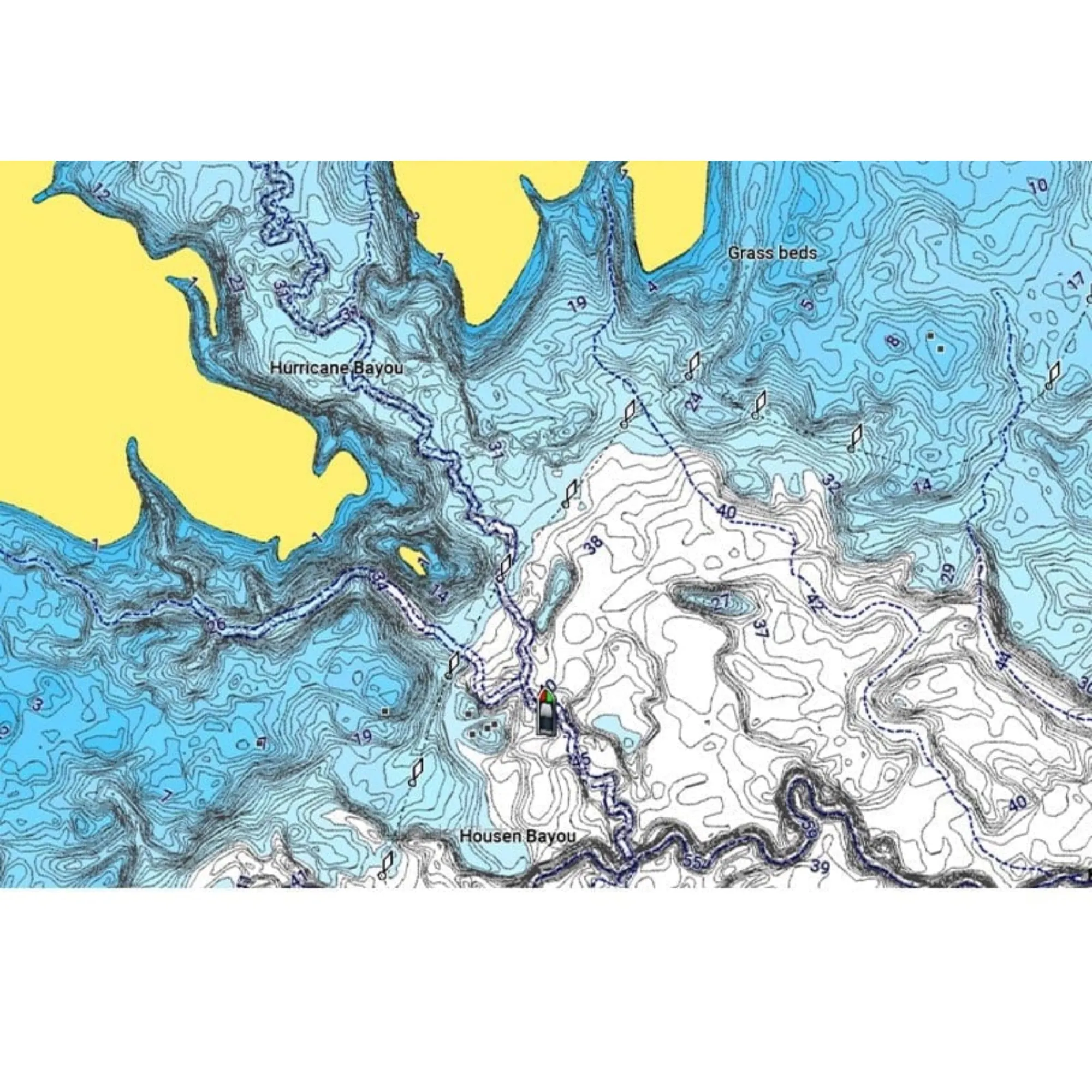
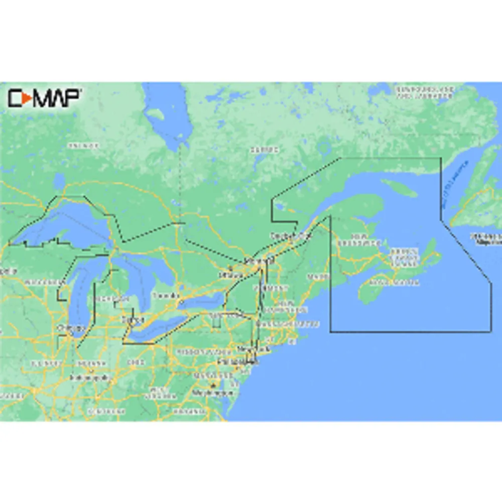
The C-MAP Great Lakes to Nova Scotia Coastal Chart offers an exceptional navigation experience for recreational boaters and anglers. This comprehensive chart includes advanced features such as Shaded Relief, Reveal Seafloor, Aerial Photography, and Satellite Overlay, providing an in-depth view of the marine landscape. With 12 months of online updates included, you can ensure that your navigation data remains current.
Key features include custom depth shading, tides and currents information, and easy routing, all presented in high-resolution bathymetry with integrated Genesis data. This chart is designed to enhance your experience on the water, whether you're exploring or fishing.
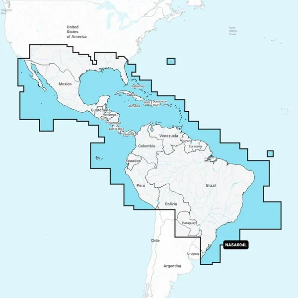
C-MAP Great Lakes to Nova Scotia Coastal Chart
Related Products