1 x $45.29
- Cart - 1 items
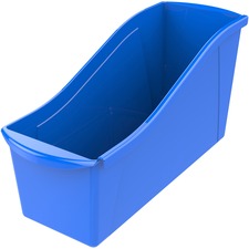 Storex Book Bi...
Subtotal: $45.29
1 x $45.29
Subtotal: $45.29
$239.72
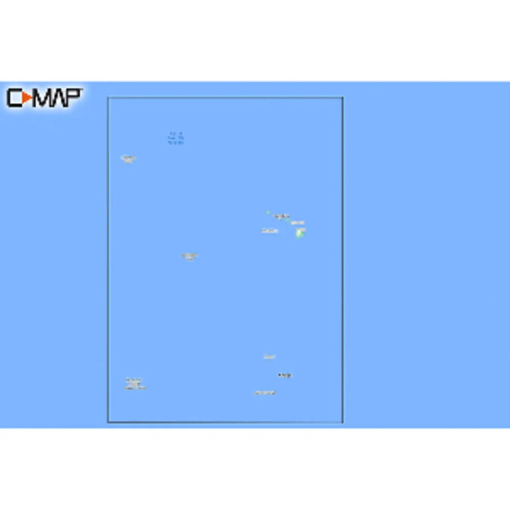
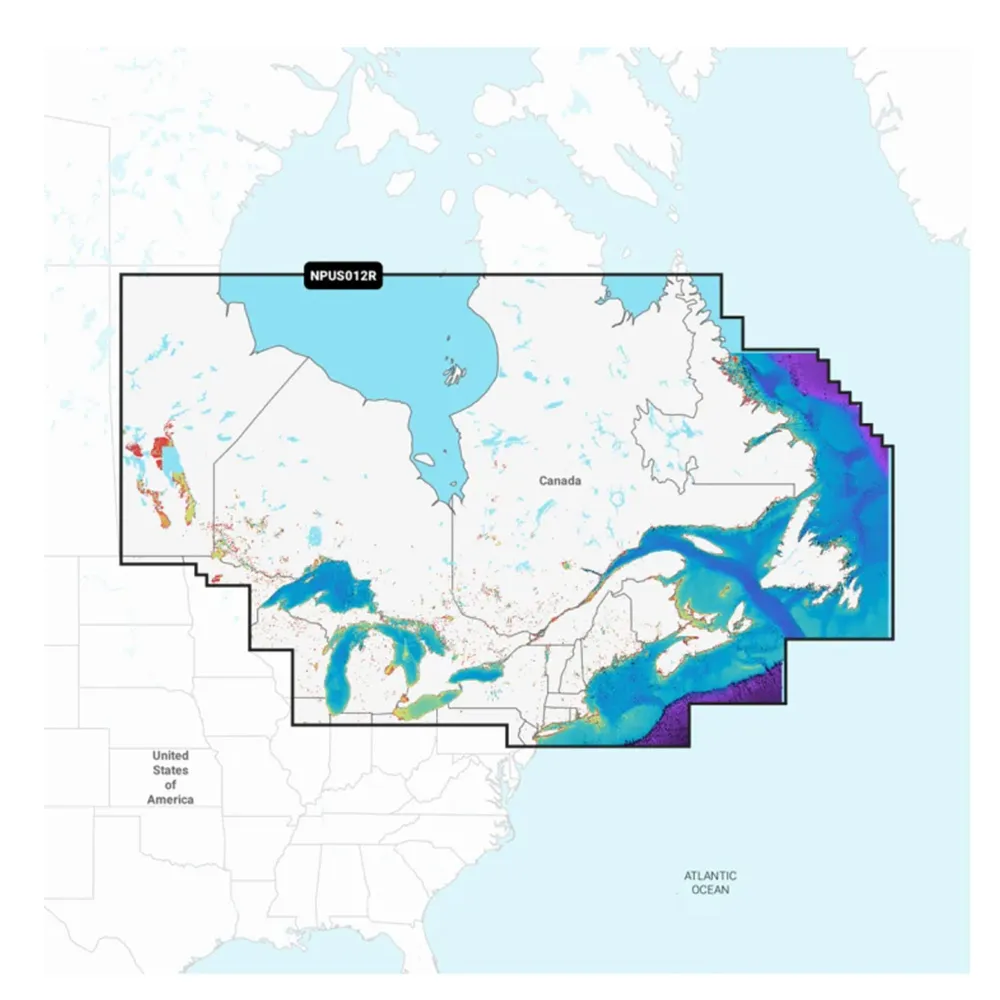
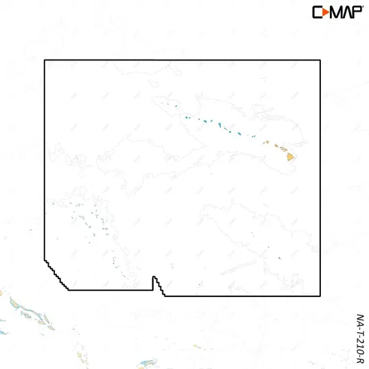
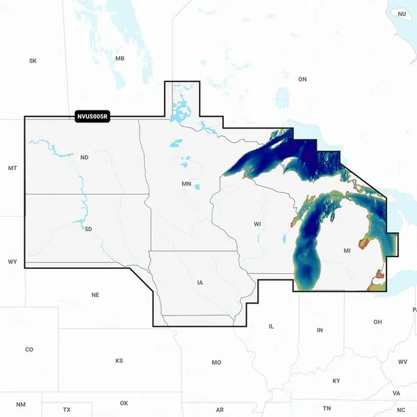
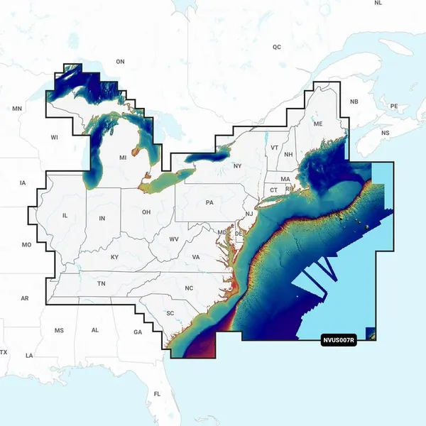
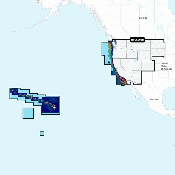
Experience the ultimate in navigation and fishing with the C-MAP REVEAL™ Coastal Chart designed for Hawaii and the South Pacific. This chart combines advanced features like Shaded Relief, Reveal Seafloor, Aerial Photography, Satellite Overlay, and Dynamic Raster Chart presentation. Enjoy full access to high-resolution bathymetry data and 12 months of online updates, making it easy to explore and chart your adventures.
C-MAP REVEAL™ Coastal Chart for Hawaii & South Pacific
Related Products
Copyright © TechBuys All Rights Reserved.


