1 x $742.00

- Cart – 1 items
-
 RUPES iBrid Na...
Subtotal: $742.00
-
1 x $742.00
Subtotal: $742.00
$189.46
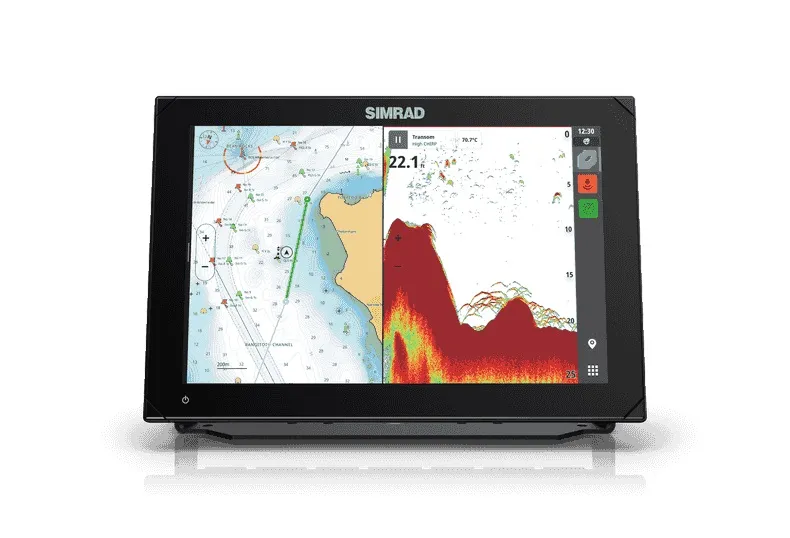
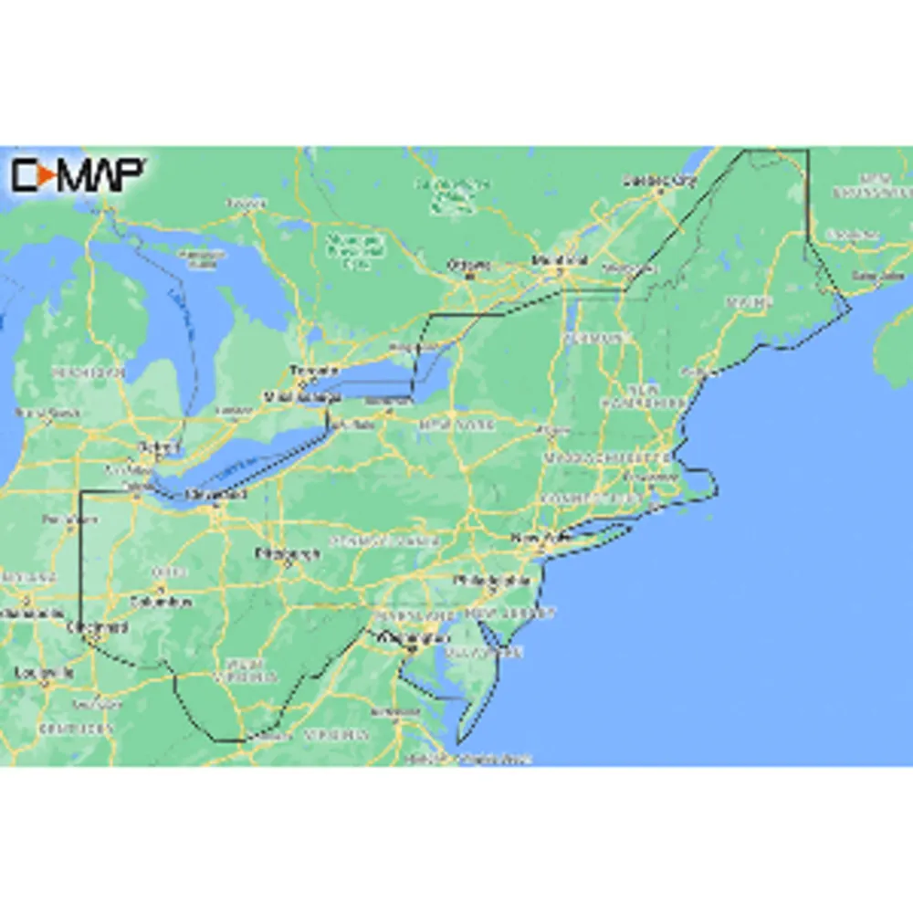
The M-NA-Y213-MS US Lakes East REVEAL™ Inland Chart is designed for boating enthusiasts, anglers, and outdoor adventurers seeking the ultimate navigation solution. Featuring advanced C-MAP® REVEAL™ technology, this chart offers stunning Shaded Relief visuals, Reveal Seafloor mapping, and integrated Aerial Photography. The full suite of C-MAP features, including Custom Depth Shading, Tides & Currents information, and Easy Routing, ensures you have everything needed for a successful outing. Enjoy 12 months of online updates upon purchase and compatibility with popular chartplotters from Lowrance, Simrad, and B&G.
M-NA-Y213-MS US Lakes East REVEAL™ Inland Chart Overview
Related Products