1 x $25.08
- Cart - 3 items
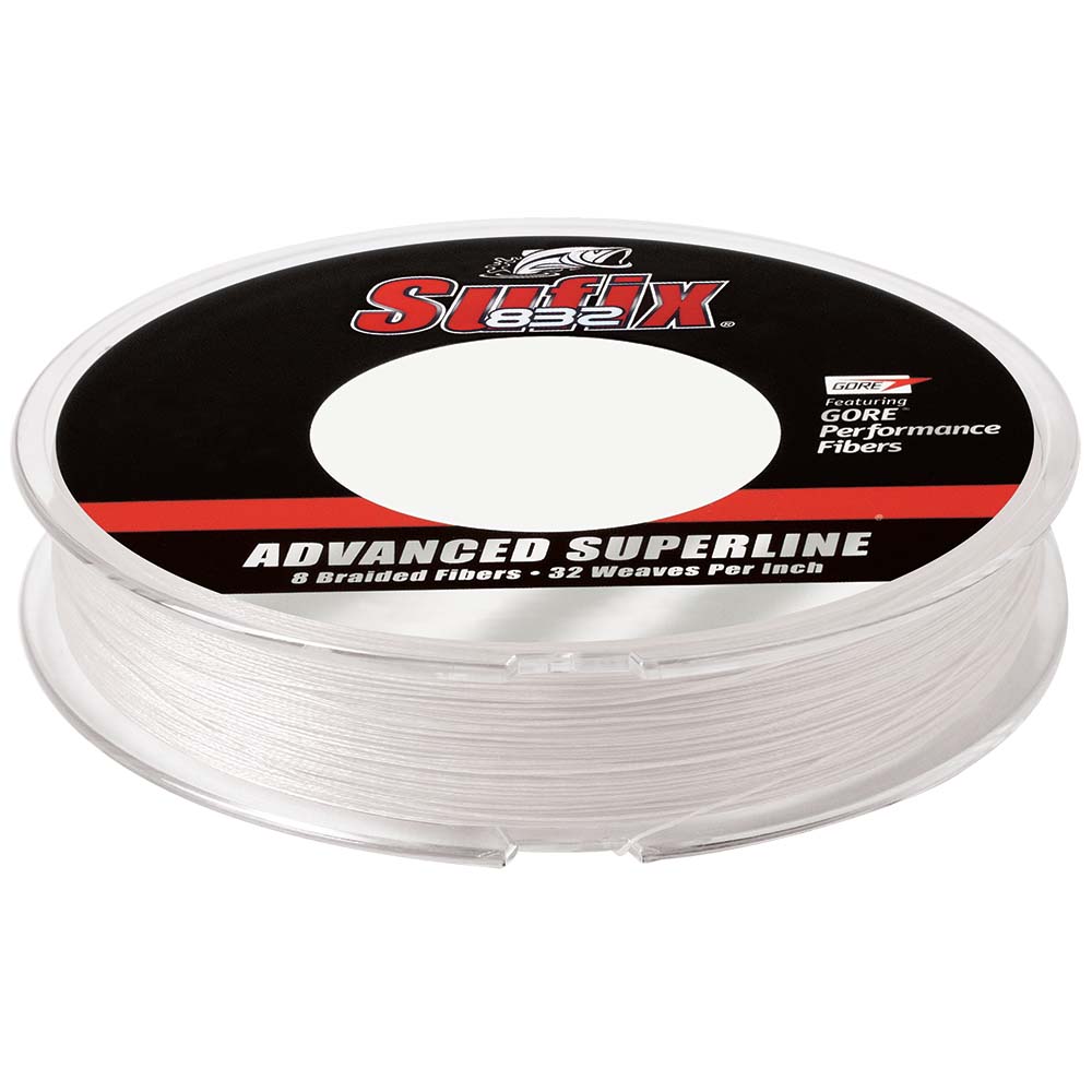 Sufix 832®...
 3 oz. Crystal ...
1 x $40.47
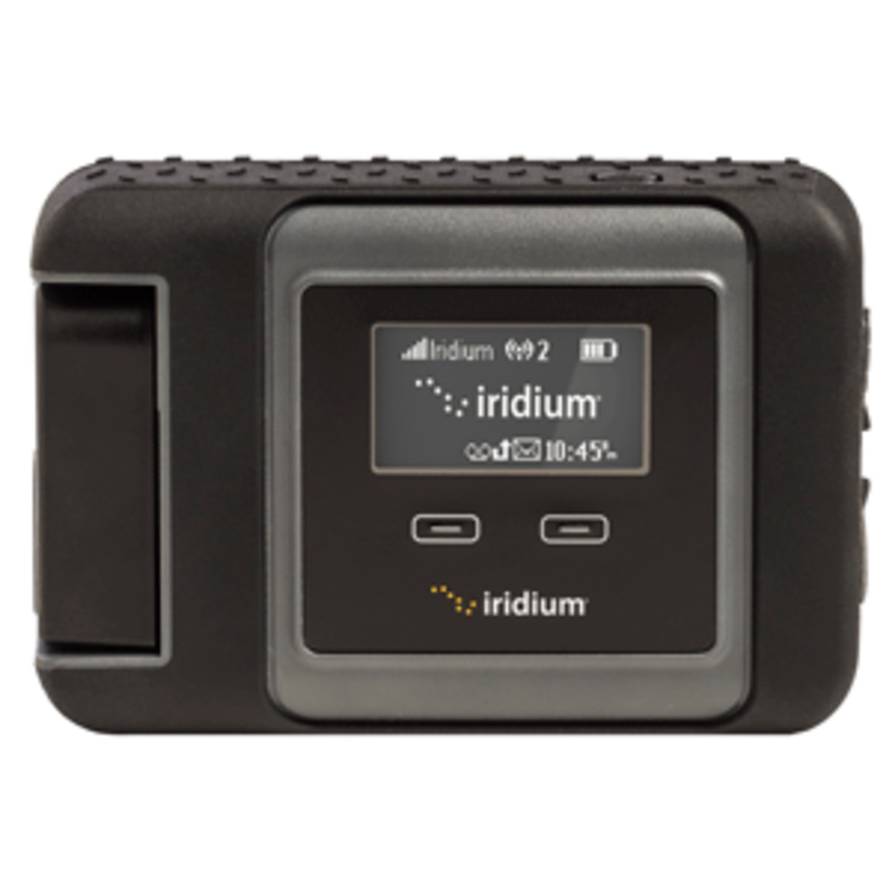 Iridium GO!&re...
1 x $1,217.45
Subtotal: $1,283.00
1 x $25.08
1 x $40.47
1 x $1,217.45
Subtotal: $1,283.00
$159.60
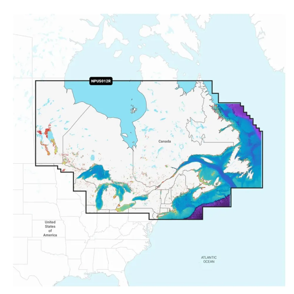
The M-NA-Y216-MS Canada Lakes REVEAL™ Inland Chart is designed for enthusiasts who love exploring water bodies, whether you're cruising, fishing, or simply navigating. It features C-MAP® REVEAL™ Lakes charts offering an advanced mapping experience, including Shaded Relief, Reveal Seafloor, Aerial Photography, and Satellite Overlay presentations. These essential tools are complemented by C-MAP DISCOVER™ features, such as full-featured Vector Charts with Custom Depth Shading, Tides & Currents, and Easy Routing. Enjoy the benefits of High-Resolution Bathymetry with integrated Genesis® data. Plus, your purchase includes a full 12 months of online updates for continuous improvement.
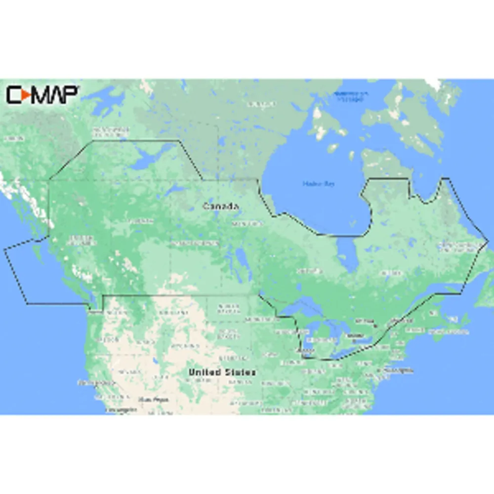
M-NA-Y216-MS Canada Lakes REVEAL™ Inland Chart
Related Products


Copyright © TechBuys All Rights Reserved.


