1 x $45.29
- Cart - 1 items
 Storex Book Bi...
Subtotal: $45.29
1 x $45.29
Subtotal: $45.29
$294.96
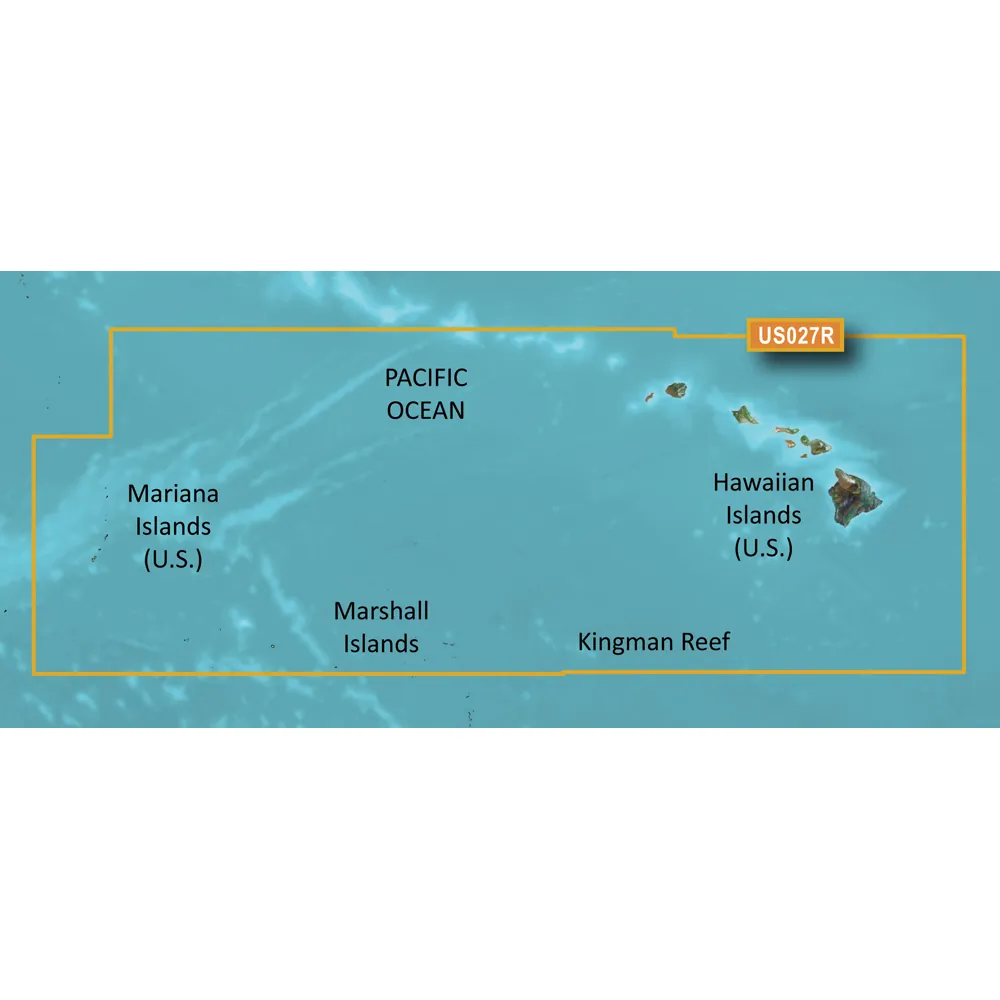
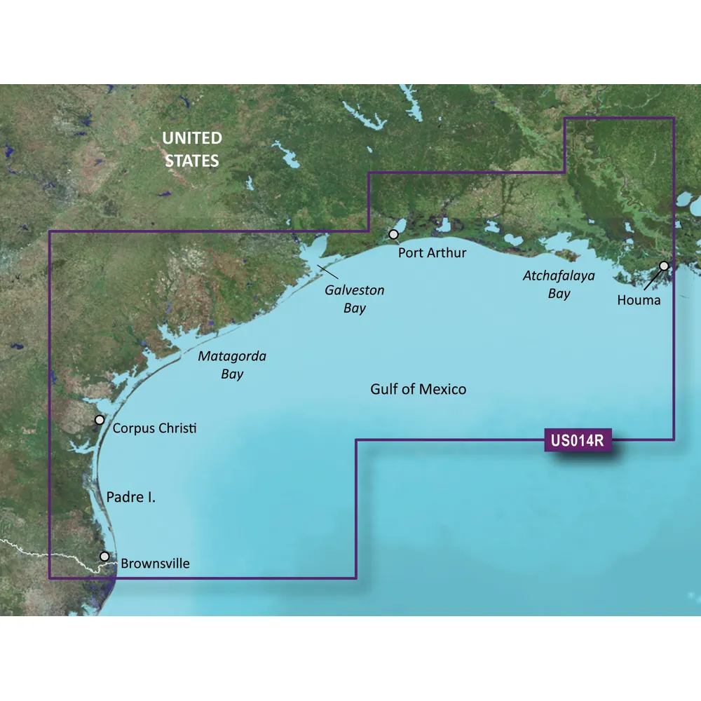
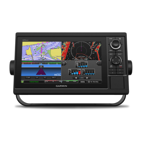
BlueChart g3 Vision HD - Hawaiian & Mariana Islands
Coverage:
This product offers extensive coverage of the Pacific Ocean, spanning from the Hawaiian Islands to the Mariana Islands, including detailed charts for Guam, Midway, and Johnston Atoll, as well as general coverage for Palmyra Atoll and the Marshall Islands.
Key Features:
Experience incredible detail and coverage on the water with BlueChart g3 Vision HD charts. This product combines advanced charting technology with extensive geographic data to help you navigate safely and confidently.
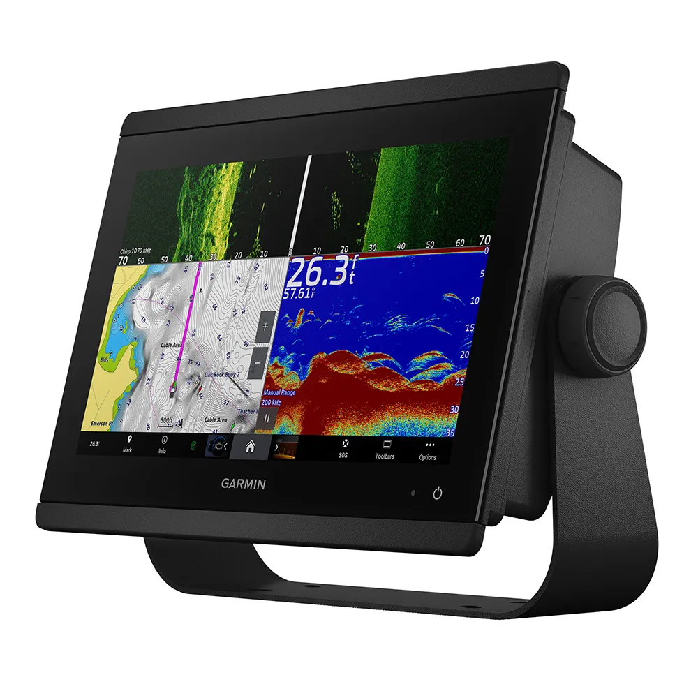
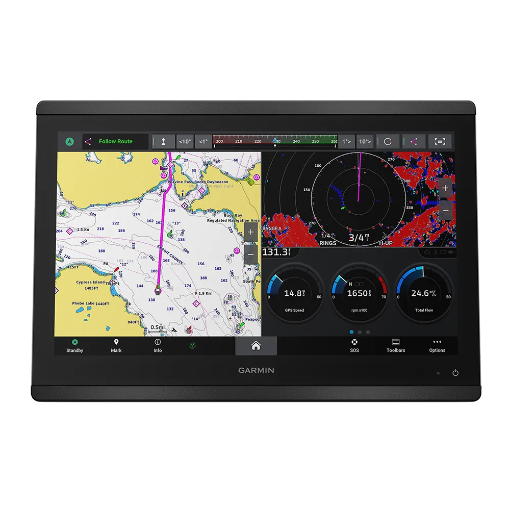
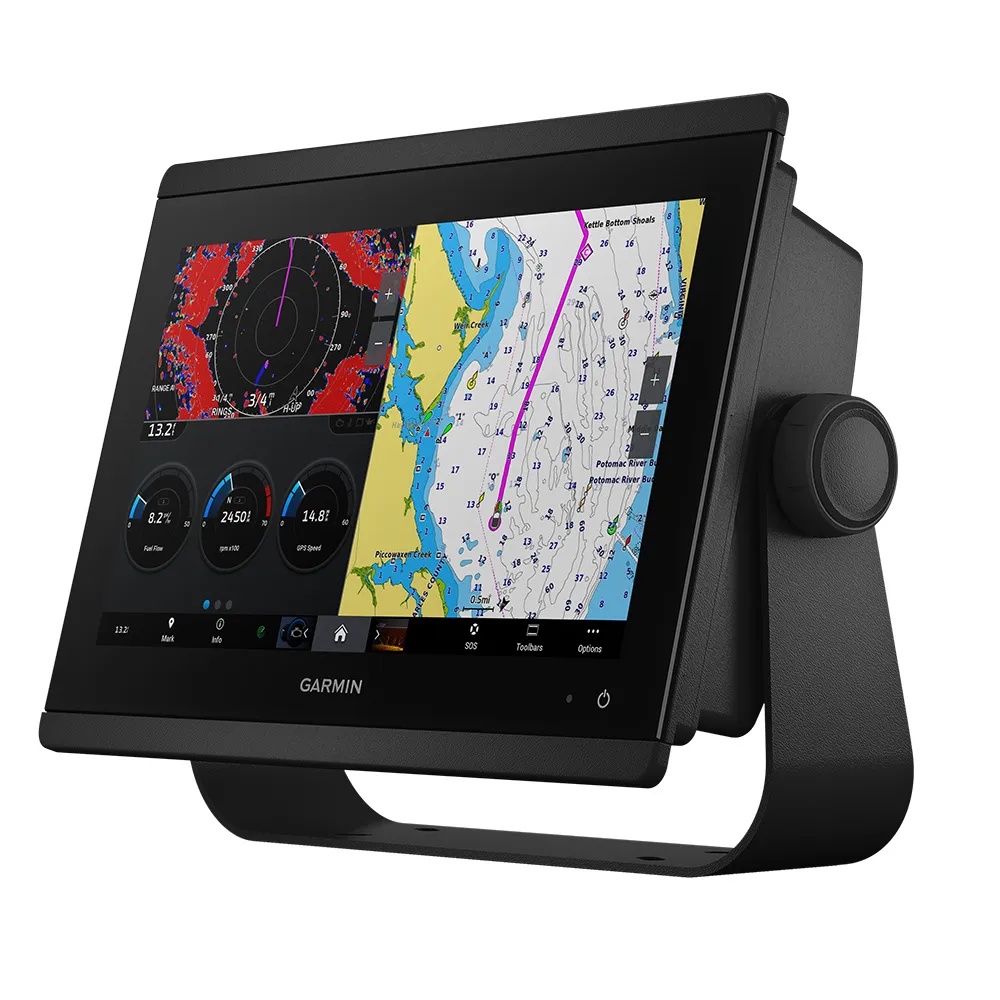
Garmin BlueChart g3 Vision HD - Hawaiian & Mariana Islands
Related Products

Copyright © TechBuys All Rights Reserved.