1 x $45.29
- Cart - 1 items
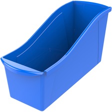 Storex Book Bi...
Subtotal: $45.29
1 x $45.29
Subtotal: $45.29
$375.81
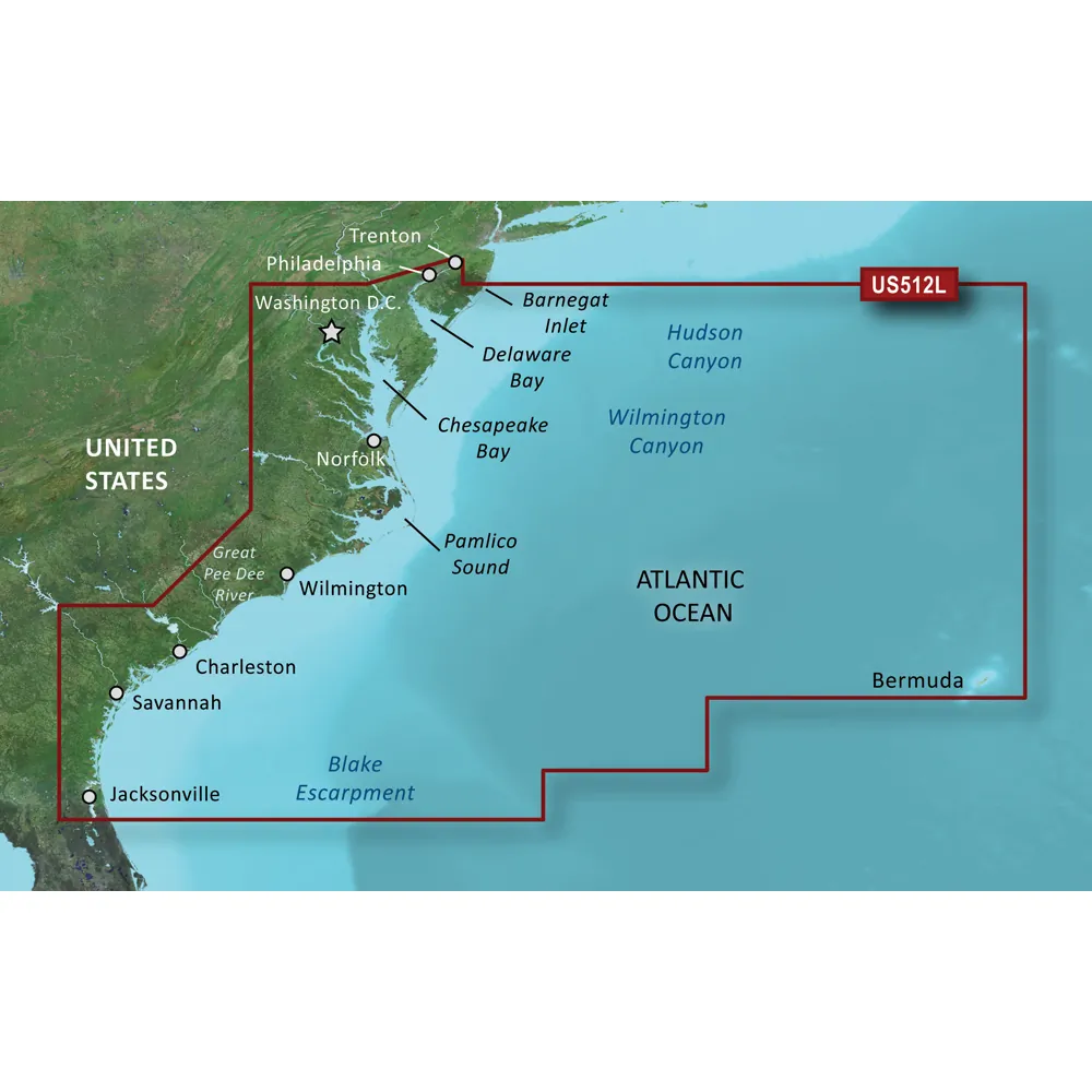
BlueChart g3 Vision HD - VUS512L - Mid-Atlantic - microSD/SD
Coverage:
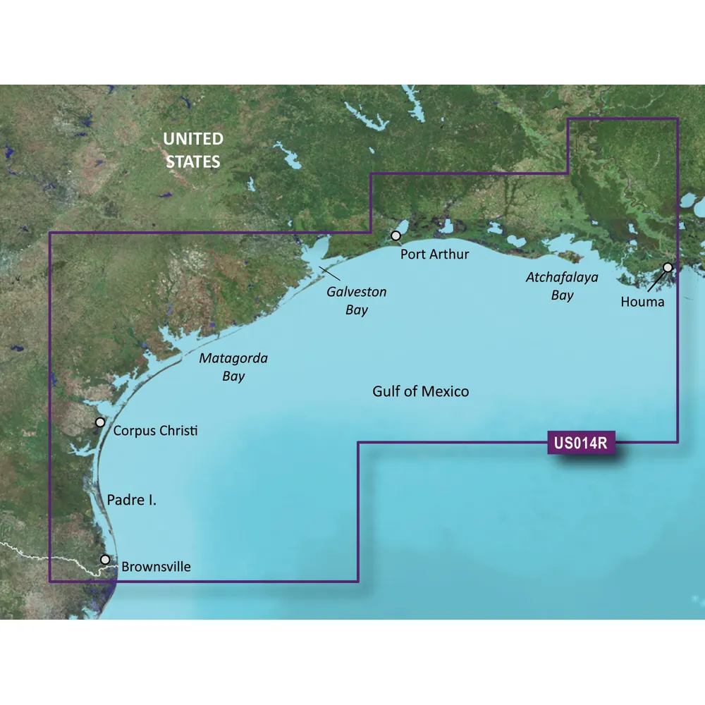
Experience detailed coverage of the East Coast extending from Barnegat Inlet, NJ to Jacksonville, FL, including Bermuda. This map comprehensively covers the Delaware River to Trenton, NJ; full coverage of the Chesapeake Bay; the Albemarle and Pamlico Sounds; Cape Fear, NC; and the Savannah River to Augusta, GA, as well as the St. Johns River to Hastings, FL. Bathymetric information stretches from Hudson Canyon to the Blake Escarpment, featuring the Wilmington, Baltimore and Washington Canyons, Charleston Valley, and the Savannah Seachannel.
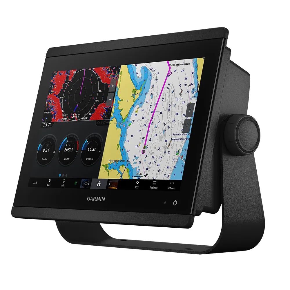
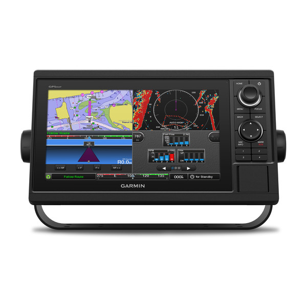
Premier Coastal Navigation Charts
Enjoy unparalleled chart detail and coverage on the water with BlueChart g3 Vision coastal charts that combine advanced technology with comprehensive data.
Auto Guidance Technology
The Auto Guidance feature calculates a suggested path to take based on your predetermined depth and overhead clearance.
High-resolution Relief Shading Feature
Relief shading offers a clearer and more interpretable depiction of underwater terrain by combining color and shadow effects.
Up to 1' Contours
Closer contour lines lead to greater accuracy in depicting underwater structure, optimizing navigation and fishing in critical areas like swamps and marinas.
NOAA Raster Cartography
For a traditional chart experience, NOAA raster cartography can be easily accessed and downloaded for use via the ActiveCaptain app.
Depth Range Shading
Utilize this feature to instantly view your target depth with the assistance of shading across 10 depth ranges.
Shallow Water Shading
This unique shading allows users to easily avoid specified shallow water depths.
High-resolution Satellite Imagery
Get enhanced situational awareness with detailed satellite images of ports, marinas, and navigational landmarks.
Unique 3-D Views
MarinerEye and FishEye views give you a new perspective of underwater topography and coastal features.
WARNING: This product can expose you to chemicals that are known to the State of California to cause cancer, birth defects, or other reproductive harm. For more information, visit P65Warnings.ca.gov.
This product may not be returned to the original point of purchase. For any issues or concerns, please contact the manufacturer directly.
Garmin BlueChart g3 Vision HD - VUS512L - Mid-Atlantic
Related Products

Copyright © TechBuys All Rights Reserved.