Call us toll free: 800-753-6889

C-MAP Reveal X Coastal Charts - East Coast

MFG No: M-NA-T-202-R-MS
SKU No: AH96P7K8N3
UPC: 9420064129072
MFG. Name: C-MAP
Available: 12
Condition: New

$243.22


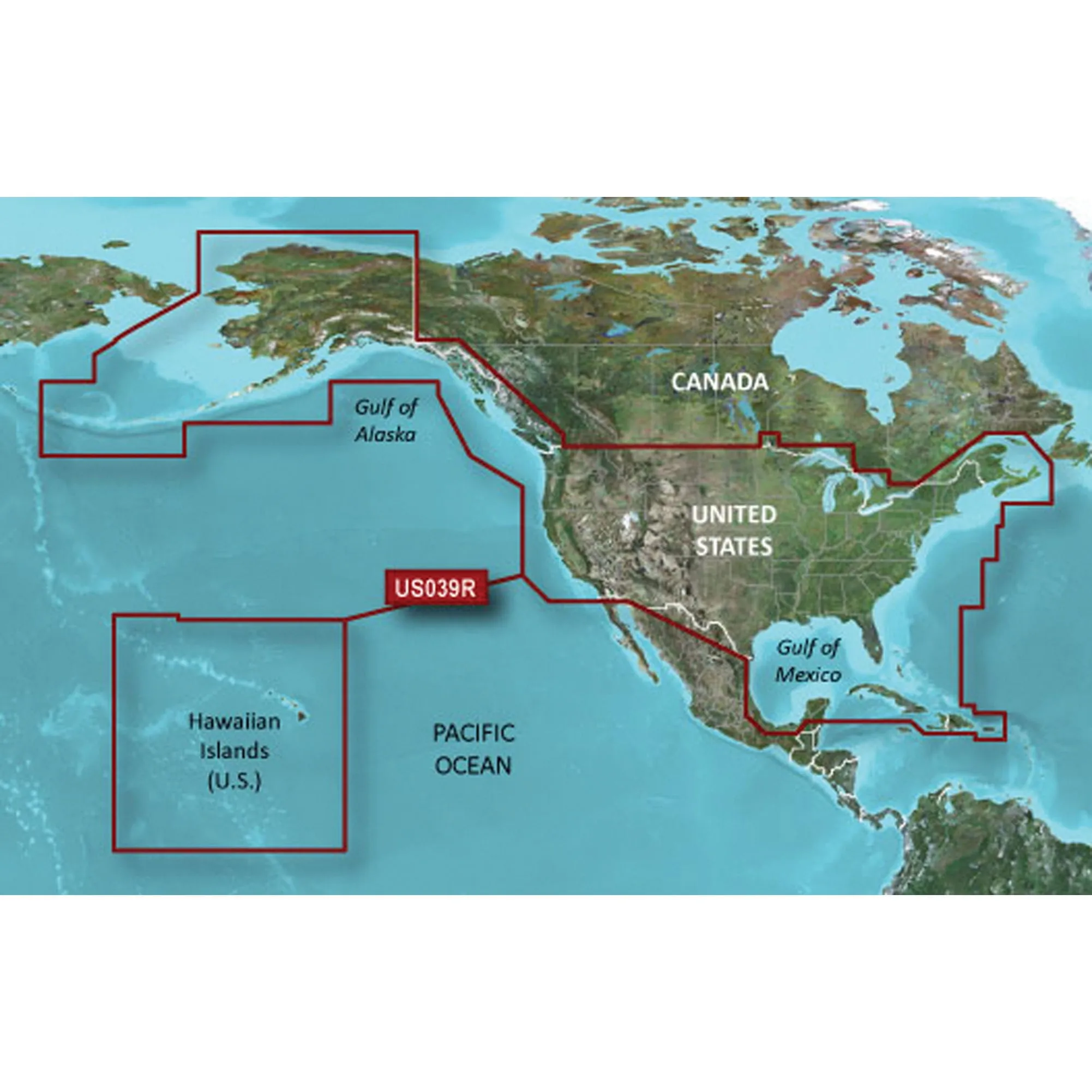
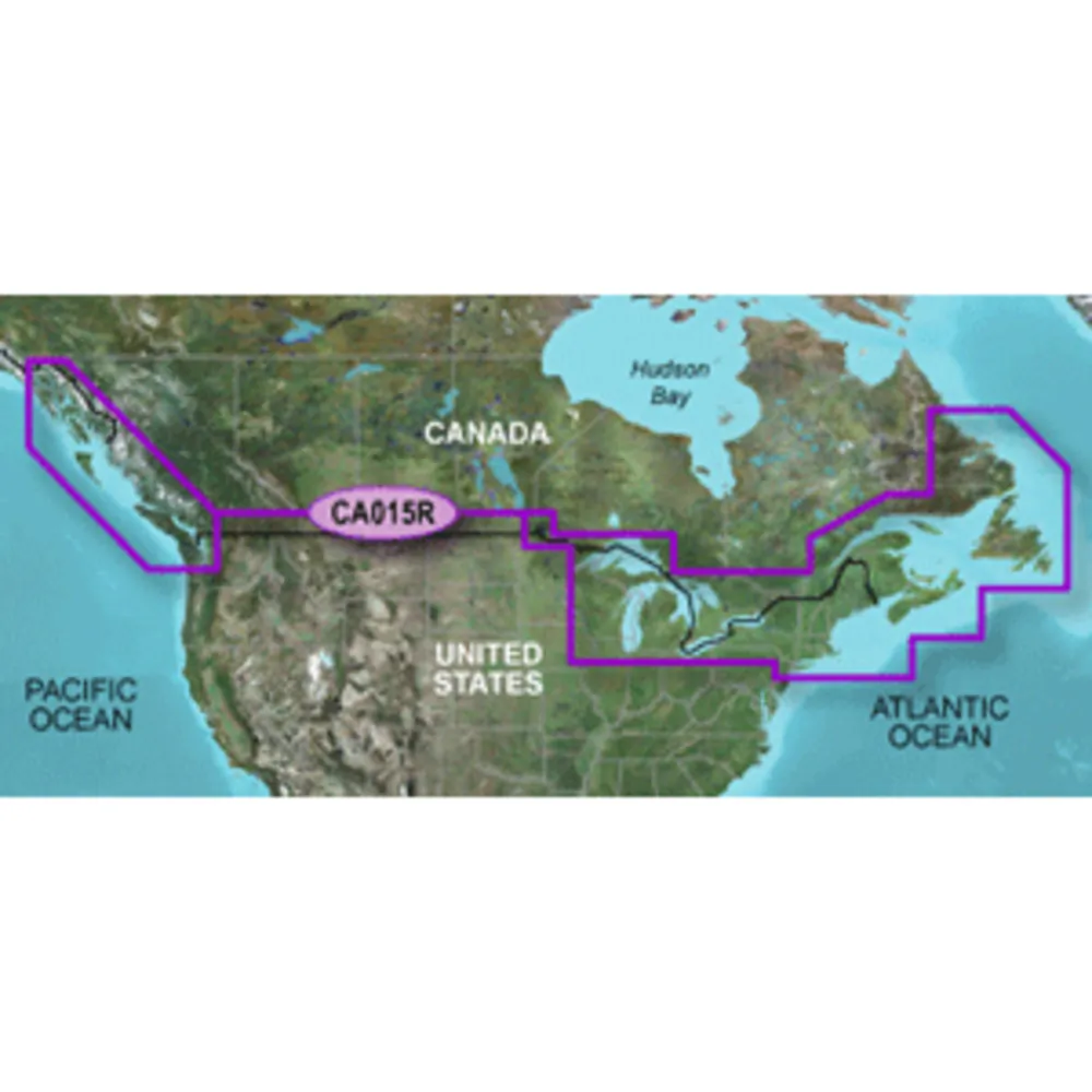
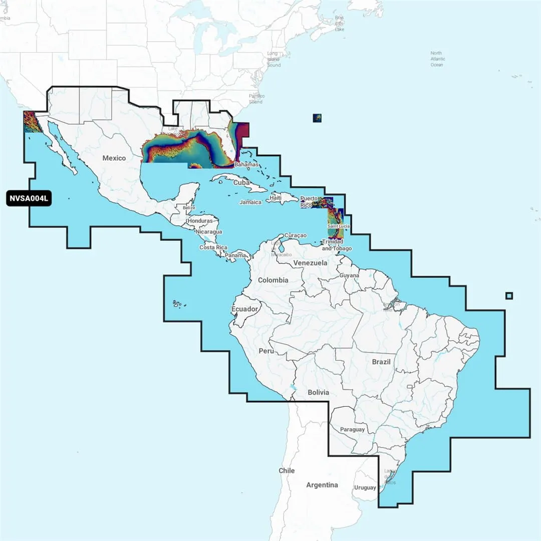
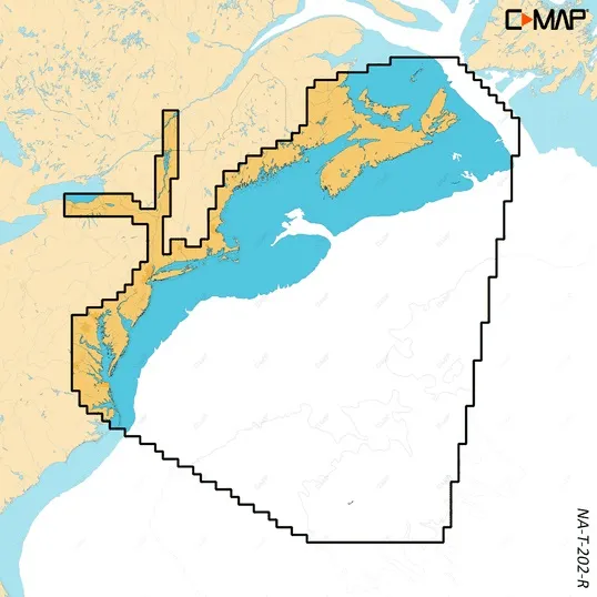
C-Map REVEAL X Coastal Charts for the East Coast

Experience enhanced navigation from Nova Scotia to Chesapeake Bay with the C-MAP REVEAL X microSD chart card. This product is designed for anglers and boaters seeking detailed and accurate marine information.

Featuring:

  • Hi-Res Bathymetry: Identifies shallow areas, drop-offs, and other underwater features using premium C-MAP® HRB data.
  • Custom Depth Shading: Set your own safety depth for a tailored fishing experience.
  • Tides & Currents: Provides projections of water levels and tide directions to enhance your planning.
  • Marina & Port Plans: Access detailed layouts for thousands of marinas to ensure safe docking.
  • Harbor & Approach Details: Navigate harbors and inlets more confidently with unprecedented detail.
  • Subscription-Free Autorouting: Automatically plots the safest and shortest route tailored to your vessel.
  • Easy Updates: Enjoy 12 months of free online updates for your charts to keep them current.

Upgrade your time on the water with the interactive REVEAL X features, maximizing situational awareness through Satellite Overlay and 3D underwater elevation. The integration with the Simrad® Companion App allows seamless planning and connectivity across devices, ensuring you have the essential information at your fingertips.


  • Hi-Res Bathymetry for shallow water insights
  • Custom Depth Shading for personalized navigation
  • Tide and current predictions for strategic planning
  • Comprehensive marina layouts for easy docking
  • Detailed harbor approach information
  • Automatic route plotting with Autorouting
  • 12 months of free chart updates


Product Tags

C-MAP Reveal X Coastal Charts - East Coast


No reviews yet.