1 x $159.17
- Cart - 3 items
 BENQ ZOWIE GAM...HP 17.3" Lapto...
1 x $292.95
 INFOCASE:INFOC...
1 x $66.48
Subtotal: $518.60
1 x $159.17
1 x $292.95
1 x $66.48
Subtotal: $518.60
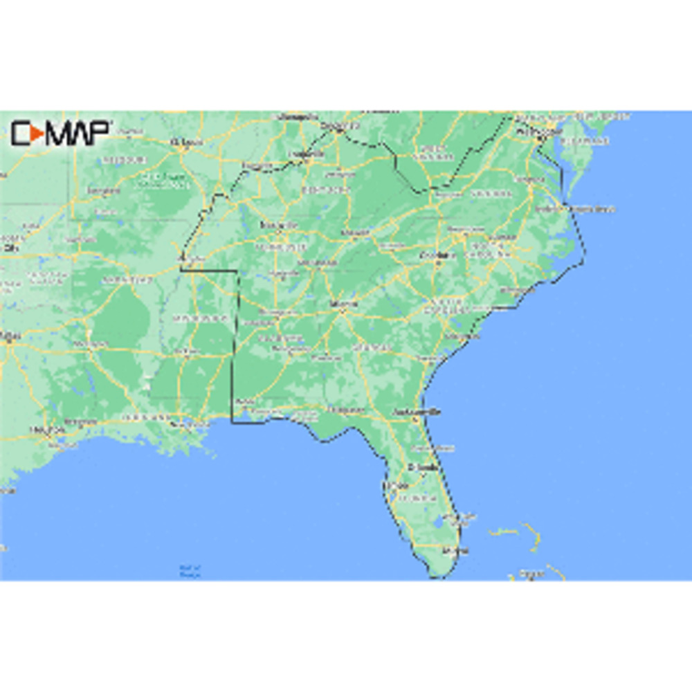
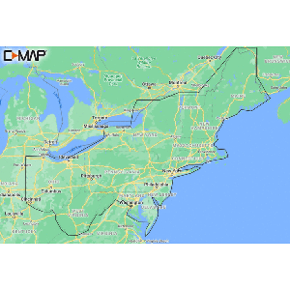
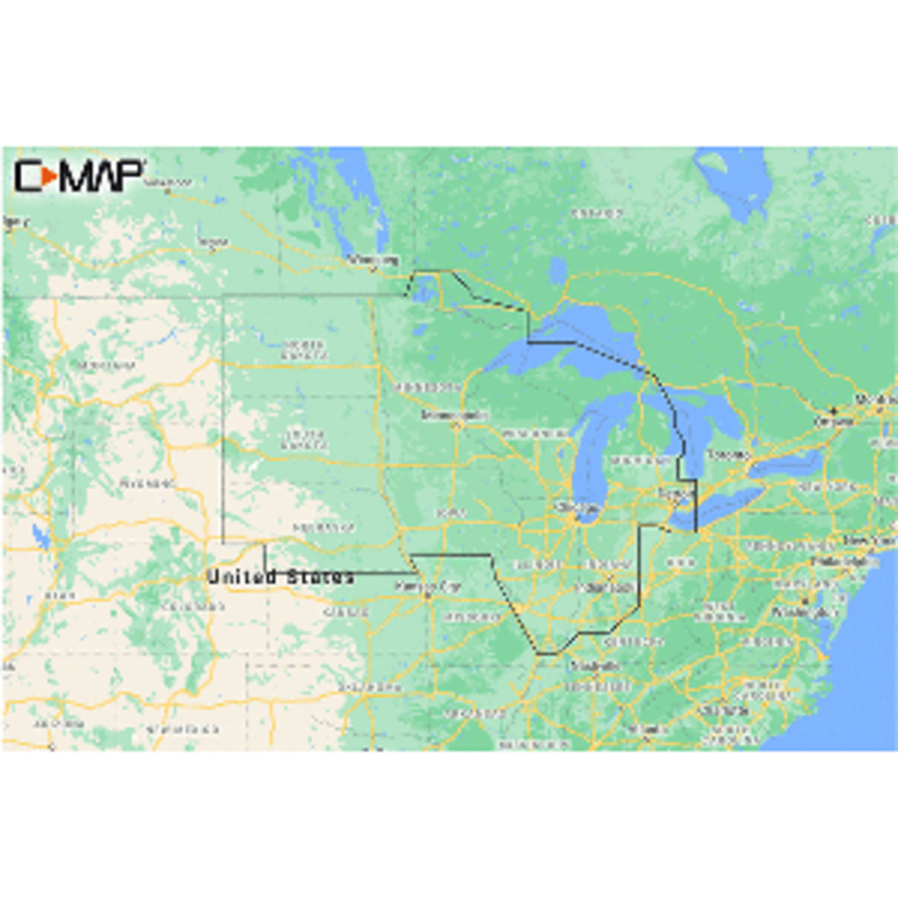
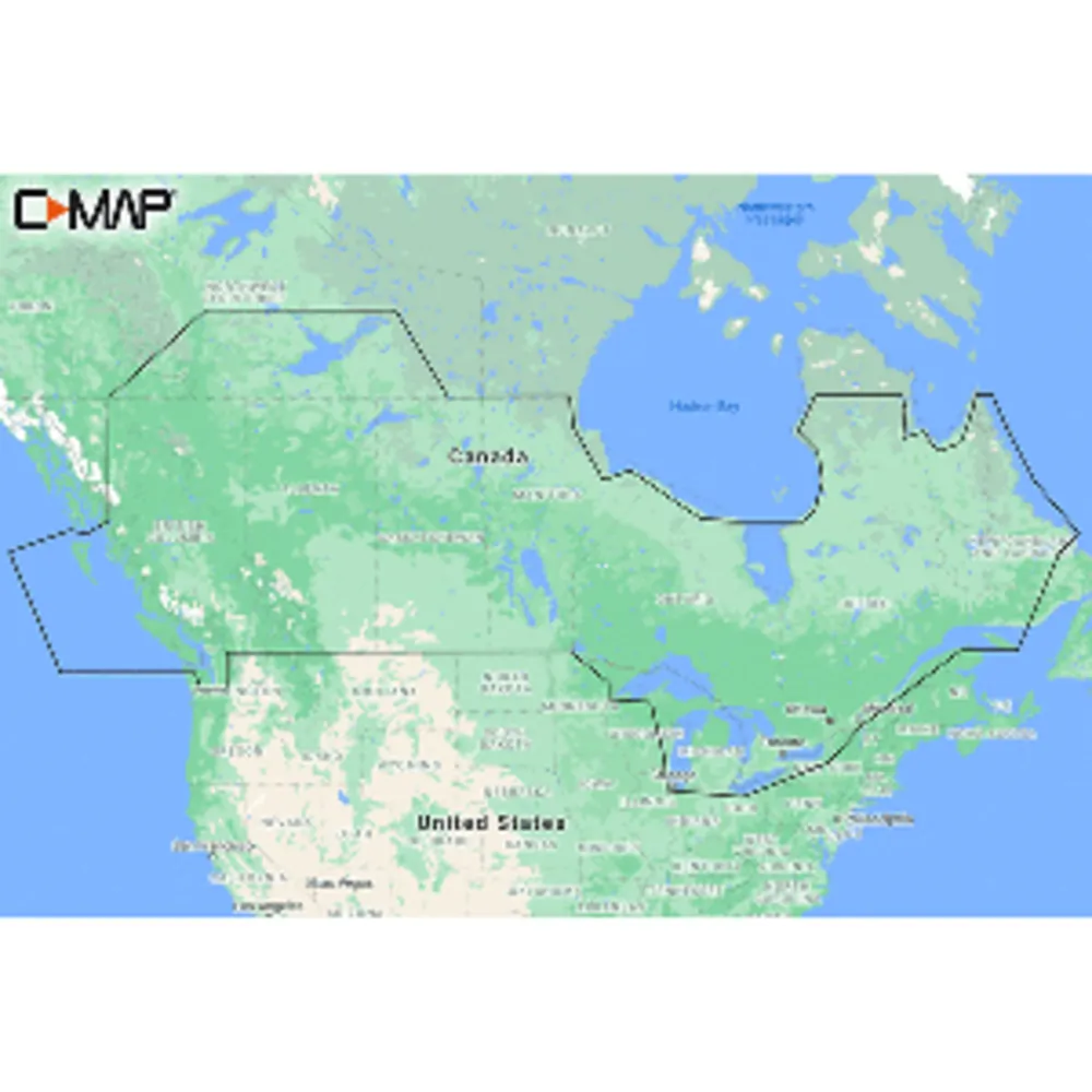
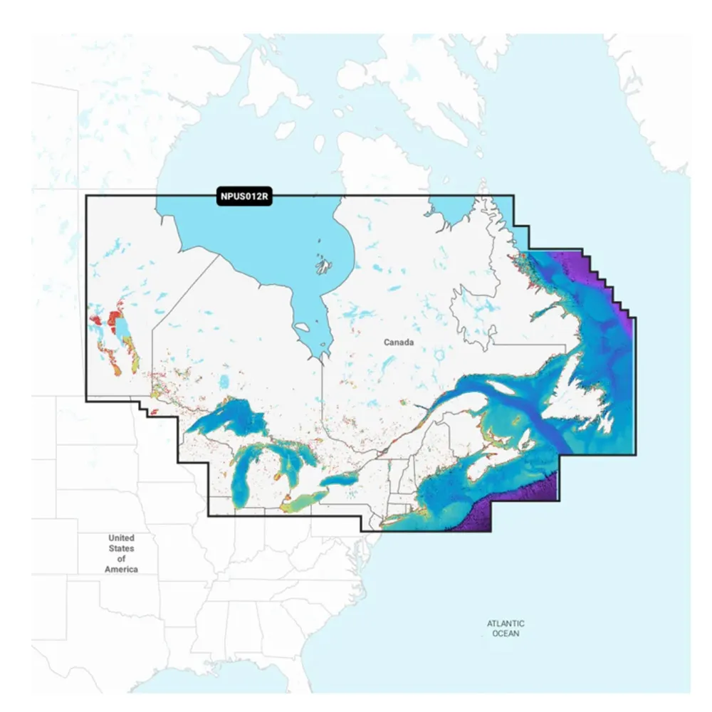
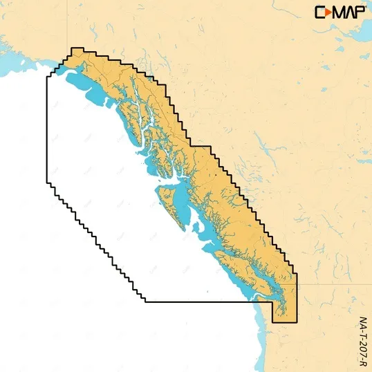
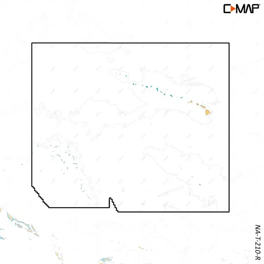
M-NA-Y214-MS US Lakes South East REVEAL™ Inland Chart
Whether cruising or fishing or C-MAP® REVEAL™ Lakes charts offer the very best of C-MAP. With Shaded Relief, including Reveal Seafloor, Aerial Photography and Satellite Overlay presentation added to the core C-MAP features found in DISCOVER™ – full-featured Vector Charts, with Custom Depth Shading, Tides & Currents and Easy Routing. It also includes the very best of C-MAP High-Resolution Bathymetry, including integrated Genesis® data.
*Purchase includes a full 12 months of online updates.
**Compatible with Lowrance, Simrad & B & G Chartplotters.
Features:
$167.68
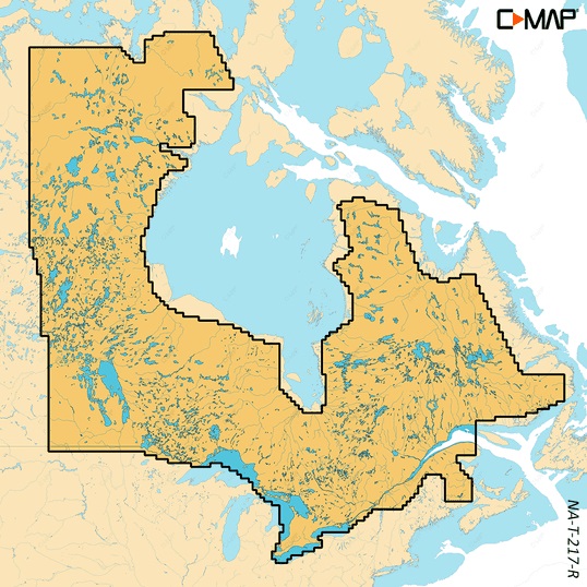
M-NA-Y214-MS US Lakes South East REVEAL™ Inland Chart
Whether cruising or fishing or C-MAP® REVEAL™ Lakes charts offer the very best of C-MAP. With Shaded Relief, including Reveal Seafloor, Aerial Photography and Satellite Overlay presentation added to the core C-MAP features found in DISCOVER™ – full-featured Vector Charts, with Custom Depth Shading, Tides & Currents and Easy Routing. It also includes the very best of C-MAP High-Resolution Bathymetry, including integrated Genesis® data.
*Purchase includes a full 12 months of online updates.
**Compatible with Lowrance, Simrad & B & G Chartplotters.
Features:
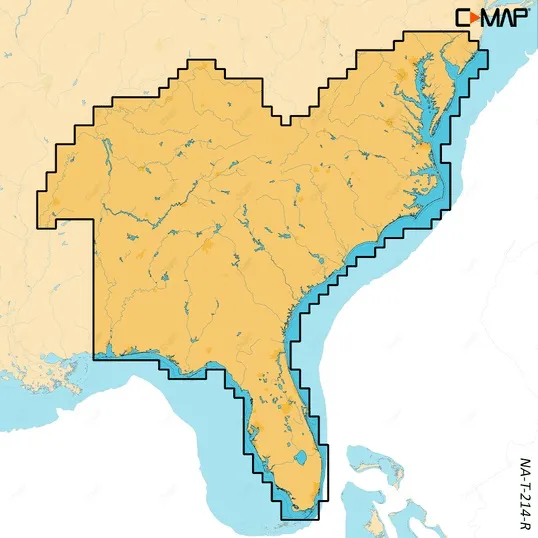
Related Products

Copyright © TechBuys All Rights Reserved.


