- Cart – 0 items
-
Cart is Empty
-
$210.61
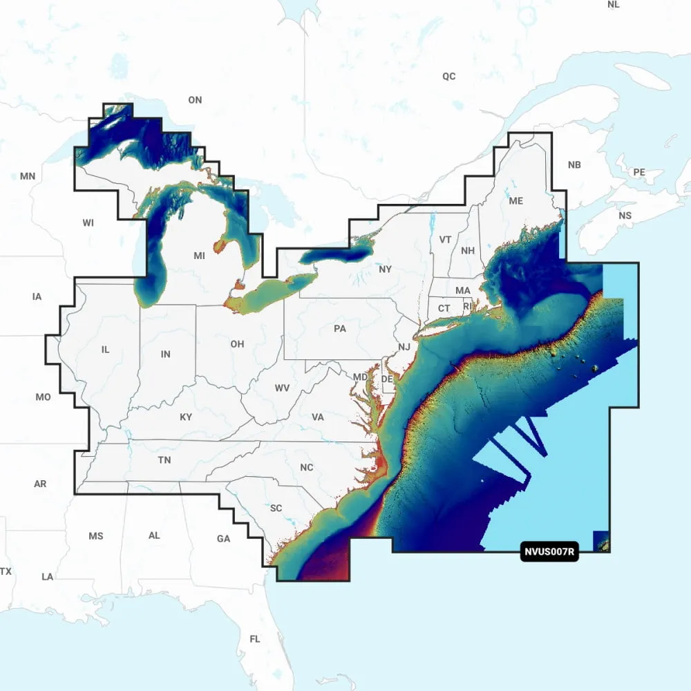
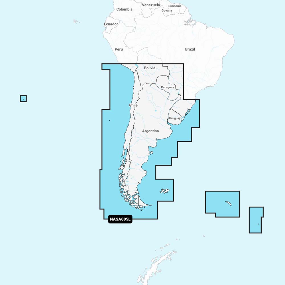
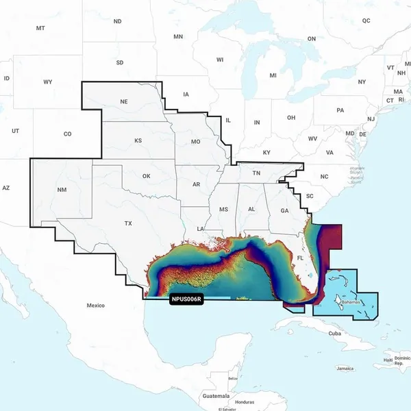
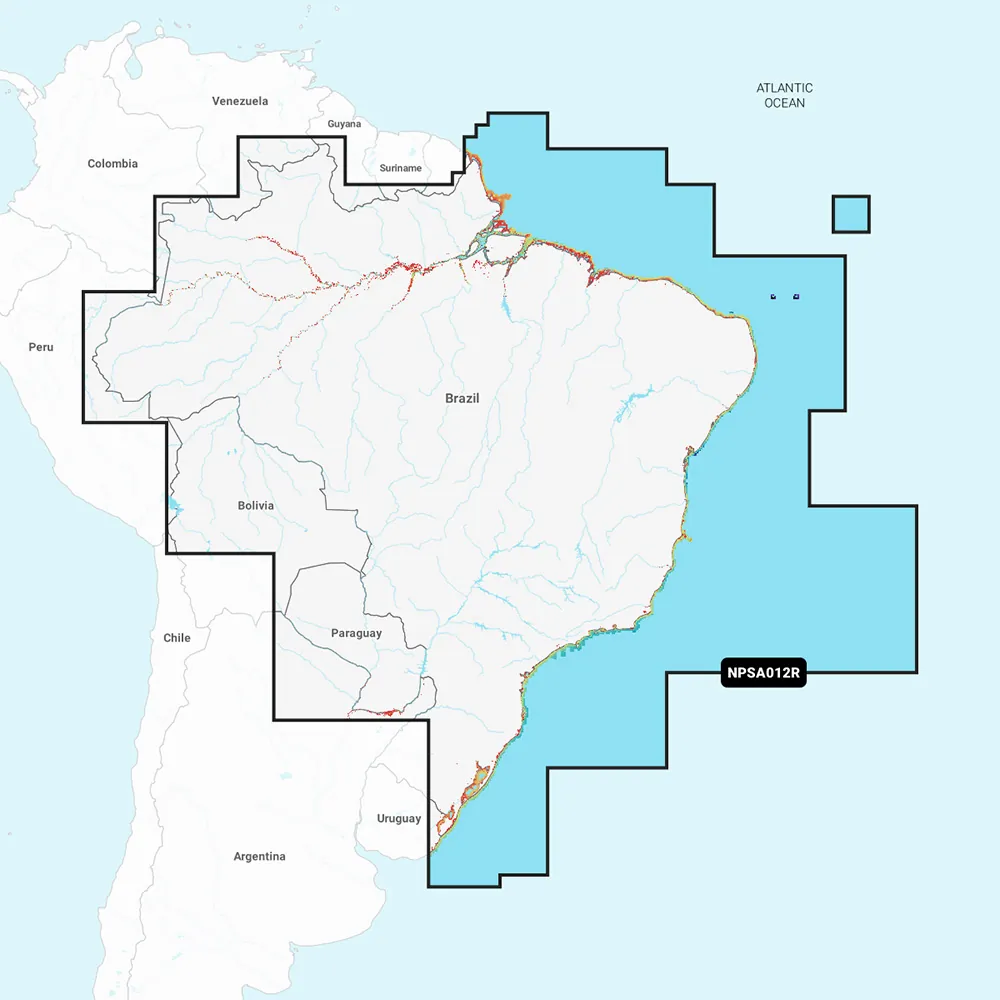
NPUS007R U.S. East
Navionics Platinum+™ charts offer comprehensive coverage of the U.S. East with enhanced functionalities like integrated offshore and inland mapping, featuring over 42,000 lakes, relief shading, and satellite imagery combined with SonarChart shading overlay. Users can also enjoy a 3D perspective view and aerial photos for a detailed navigation experience.
Charts & Updates:
Advanced Features:
Overlays:
Platinum+ Additional Viewing Options:
Coverage Areas:
Compatibility:
1 Subscription is required.
2 Dock-to-dock Route Guidance is for planning purposes only and does not replace safe navigation operations.
3 Subscription not required for SonarChart Live mapping feature on certain chartplotter models; check firmware updates.
NOTE: Navionics+ and Platinum+ cards are not compatible with Garmin chartplotters.
**NOT FOR USE IN GARMIN CHARTPLOTTERS**
Navionics Platinum+ U.S. East Chart NPUS007R
Related Products