- Cart – 0 items
-
Cart is Empty
-
$188.99
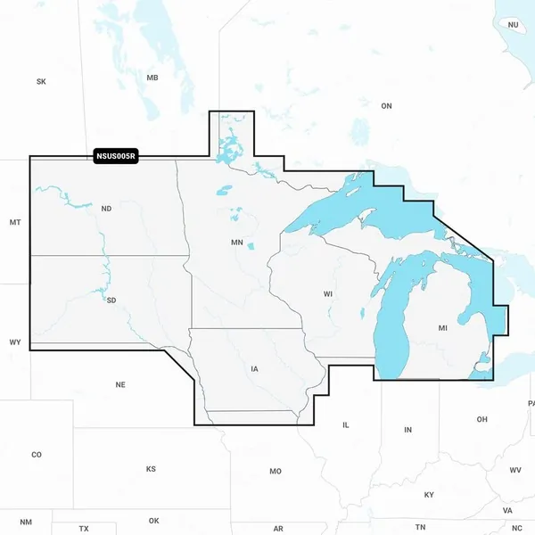
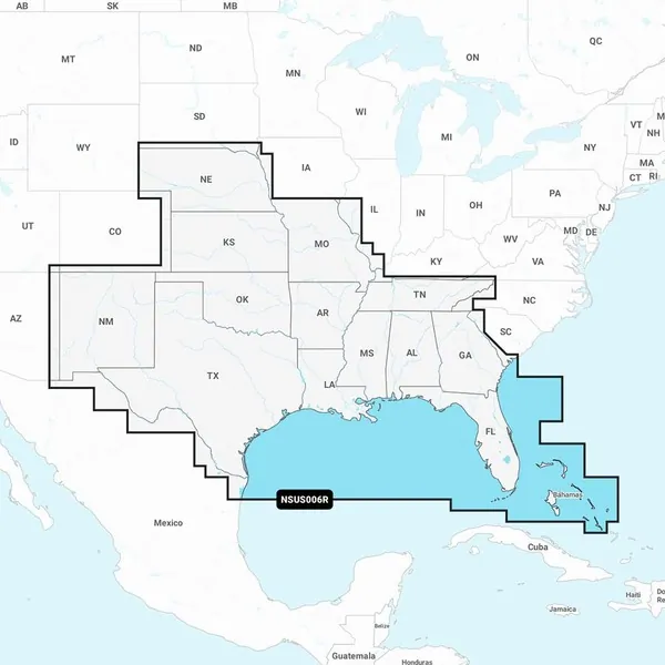
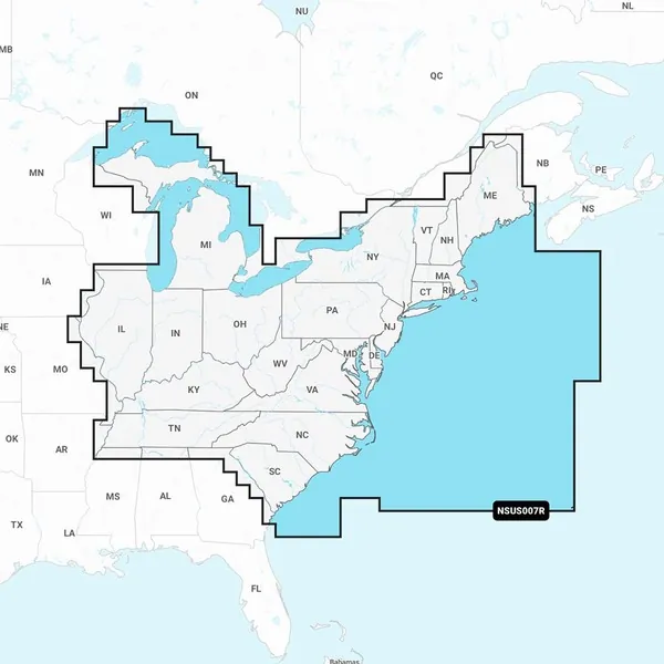
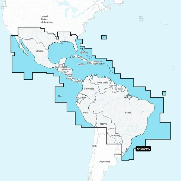
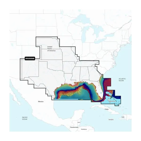
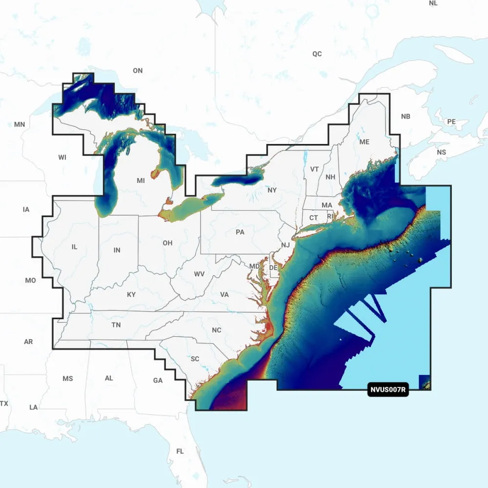
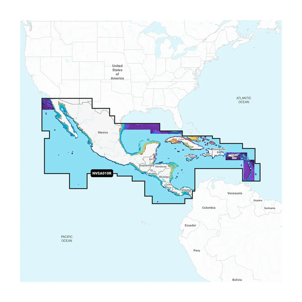
Garmin Navionics Vision+ NVSA010R Marine Chart for Central America
This advanced marine mapping solution offers vibrant colors and a user-friendly interface for effective navigation in coastal and inland waters. With comprehensive coverage and updates from the world’s leading marine mapping brand, it ensures you get the best experience on the water.
Key Features:
Garmin Navionics Vision+ NVSA010R Marine Chart for Central America
Related Products