- Cart – 0 items
-
Cart is Empty
-
$239.72
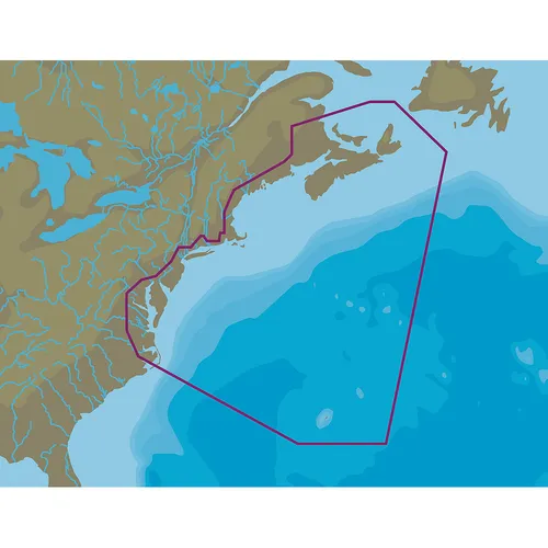
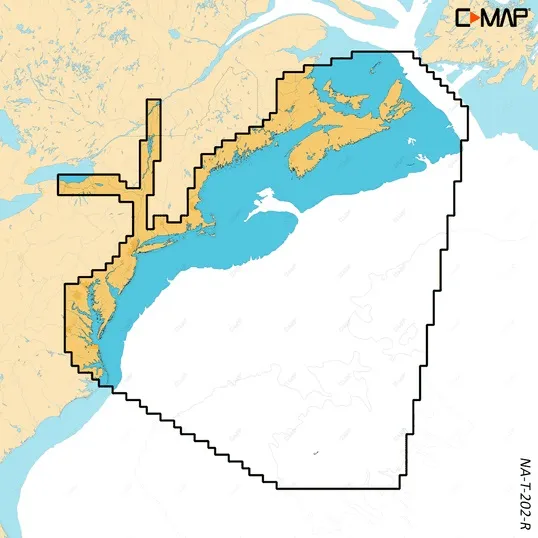
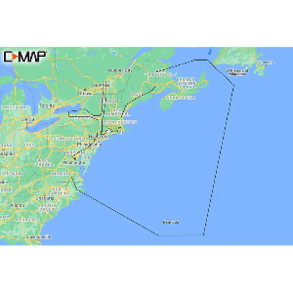
The C-MAP REVEAL Coastal Chart for Nova Scotia to Chesapeake Bay offers an advanced navigation experience for both cruising and fishing enthusiasts. With its state-of-the-art technology, this chart combines multiple features to enhance your marine adventures.
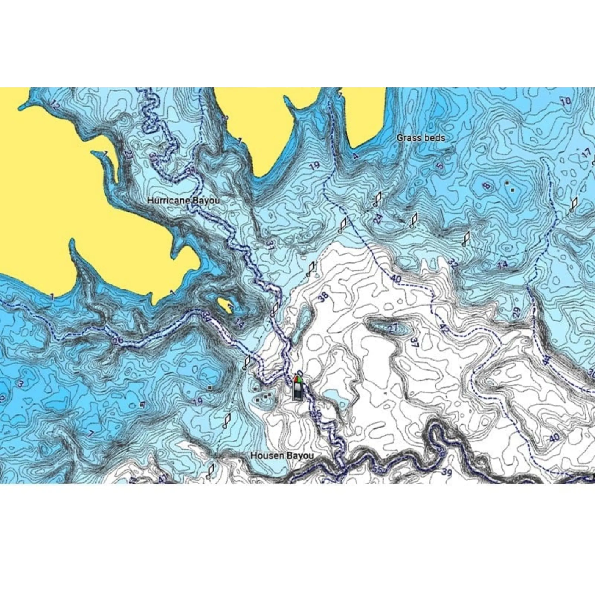
Enjoy detailed Shaded Relief, Reveal Seafloor visuals, and integrated Aerial Photography. The chart is equipped with Satellite Overlay and Dynamic Raster Chart presentation, alongside full-featured Vector Charts that include Custom Depth Shading, Tides & Currents, and Easy Routing. You'll also receive a full 12 months of online updates with your purchase.
Enhance your fishing and cruising experience with high-resolution bathymetry, supported by community-contributed Genesis data.
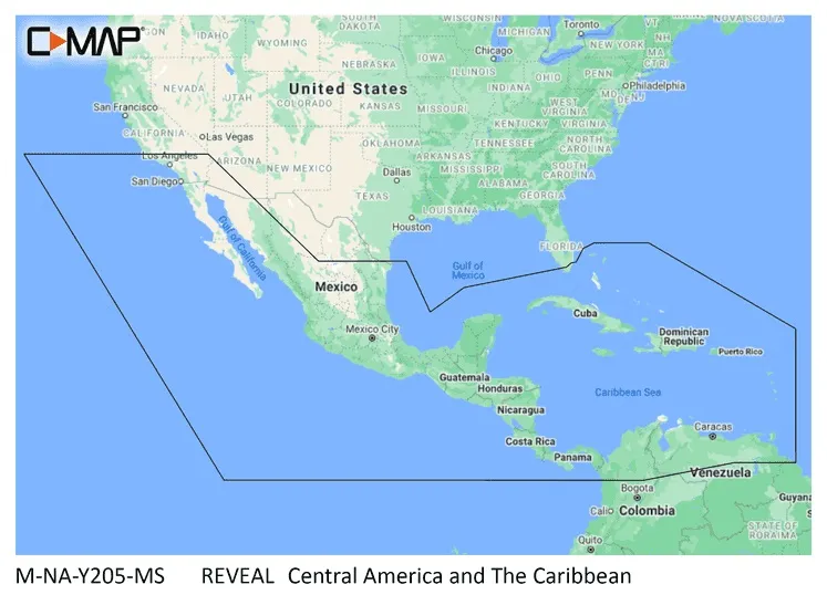
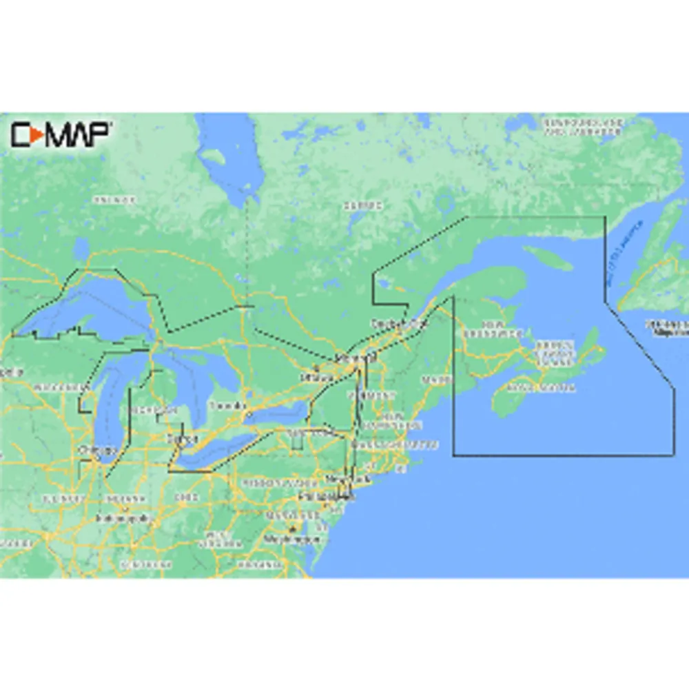
C-MAP REVEAL Coastal Chart: Nova Scotia to Chesapeake Bay
Related Products